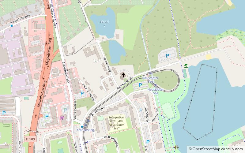
Hoffnungskirche, Magdeburg
Map

Map

Facts and practical information
Hoffnungskirche is a Protestant church in the Neustädter See district of Magdeburg.
Coordinates: 52°10'31"N, 11°38'1"E
Address
Krähenstieg 2Neustädter SeeMagdeburg
ContactAdd
Social media
Add
Day trips
Hoffnungskirche – popular in the area (distance from the attraction)
Nearby attractions include: Magdeburg Zoo, Park Vogelgesang, Märchenbrunnen, Reformationskirche.
Frequently Asked Questions (FAQ)
Which popular attractions are close to Hoffnungskirche?
Nearby attractions include Märchenbrunnen, Magdeburg (10 min walk), Magdeburg Zoo, Magdeburg (17 min walk), Park Vogelgesang, Magdeburg (23 min walk).
How to get to Hoffnungskirche by public transport?
The nearest stations to Hoffnungskirche:
Tram
Bus
Train
Tram
- Neustädter See • Lines: 8, 9 (3 min walk)
- Krähenstieg • Lines: 8, 9 (5 min walk)
Bus
- Krähenstieg • Lines: N7 (5 min walk)
- Neuer Sülzeweg • Lines: N7 (10 min walk)
Train
- Magdeburg-Rothensee (26 min walk)
- Magdeburg-Eichenweiler (31 min walk)


