Friedhof am Glockenberg, Coburg
Map
Gallery
Facts and practical information
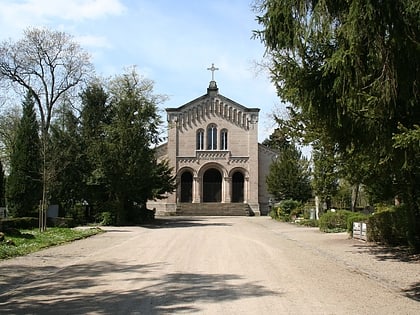
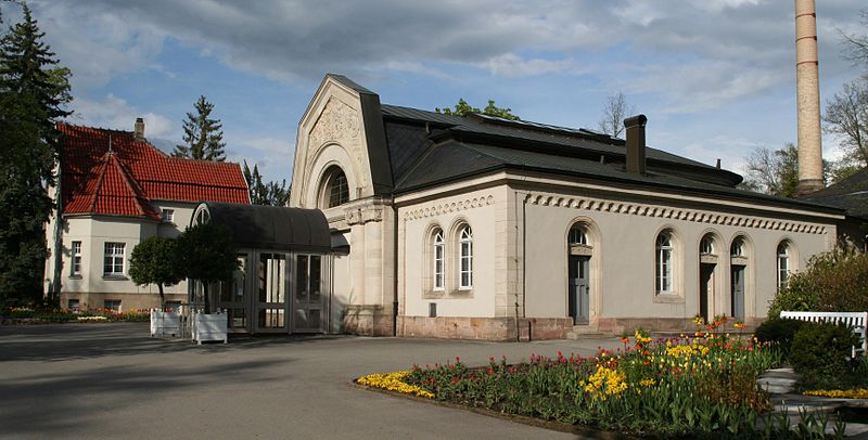
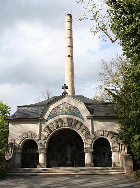
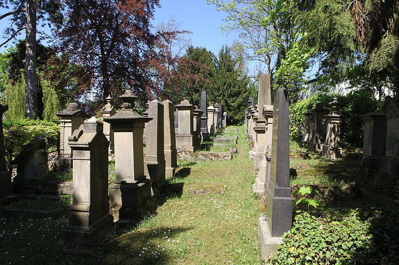
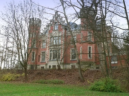
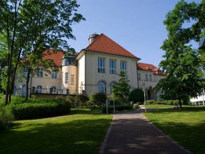
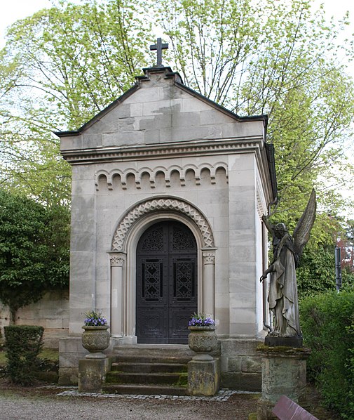
The cemetery on the Glockenberg is the burial place of the city of Coburg. The western part of the cemetery was established from 1847 to 1851 on the upper Glockenberg hill as a replacement for the Salvator cemetery. From 1868 to 1869 the extension east of the street Hinterer Glockenberg followed. Due to its historic park as well as various cemetery buildings, the Glockenberg Cemetery is considered an overall facility worthy of preservation.
Coordinates: 50°15'10"N, 10°58'24"E
Address
Coburg
ContactAdd
Social media
Add
Day trips
Friedhof am Glockenberg – popular in the area (distance from the attraction)
Nearby attractions include: Veste Coburg, Schloss Ehrenburg, Morizkirche, St. Augustin.
Frequently Asked Questions (FAQ)
Which popular attractions are close to Friedhof am Glockenberg?
Nearby attractions include Rose Garden, Coburg (9 min walk), Kunstverein Coburg, Coburg (9 min walk), Reithalle, Coburg (11 min walk), Morizkirche, Coburg (11 min walk).
How to get to Friedhof am Glockenberg by public transport?
The nearest stations to Friedhof am Glockenberg:
Bus
Train
Bus
- Friedhof • Lines: 6 (5 min walk)
- Eckardtsberg • Lines: 6 (5 min walk)
Train
- Coburg (26 min walk)
