Kaiser-Friedrich-Park, Aachen
Map
Gallery
Facts and practical information
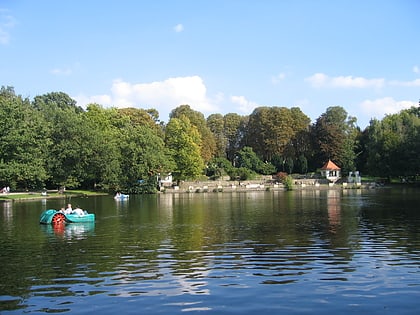
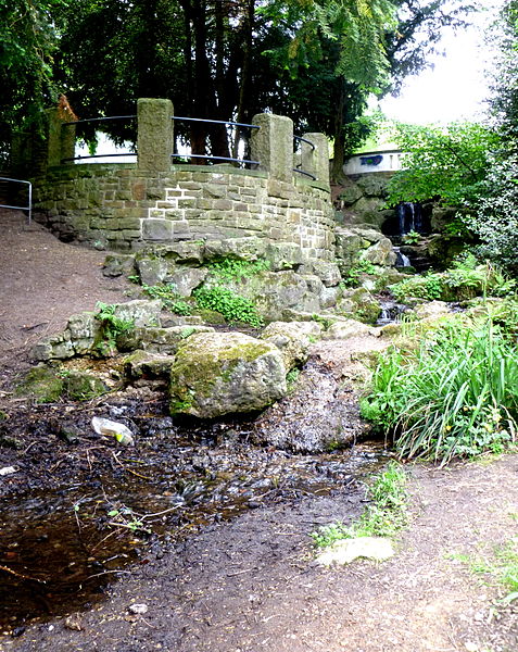
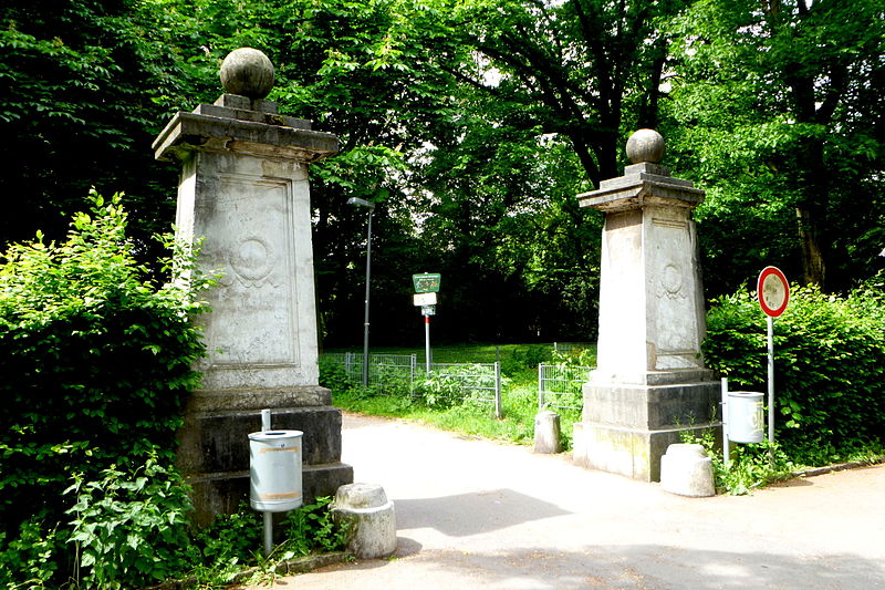
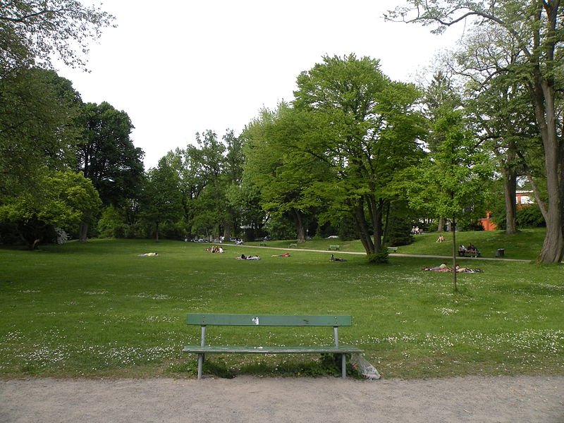
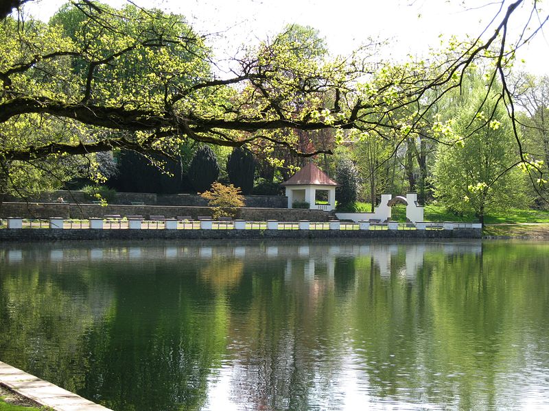
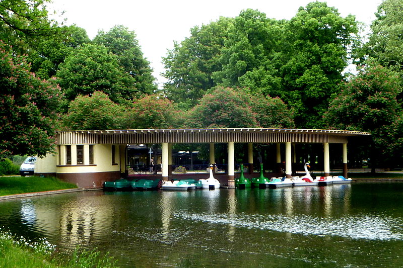
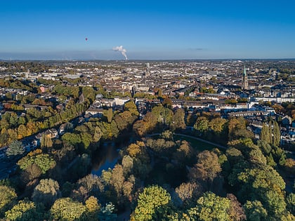
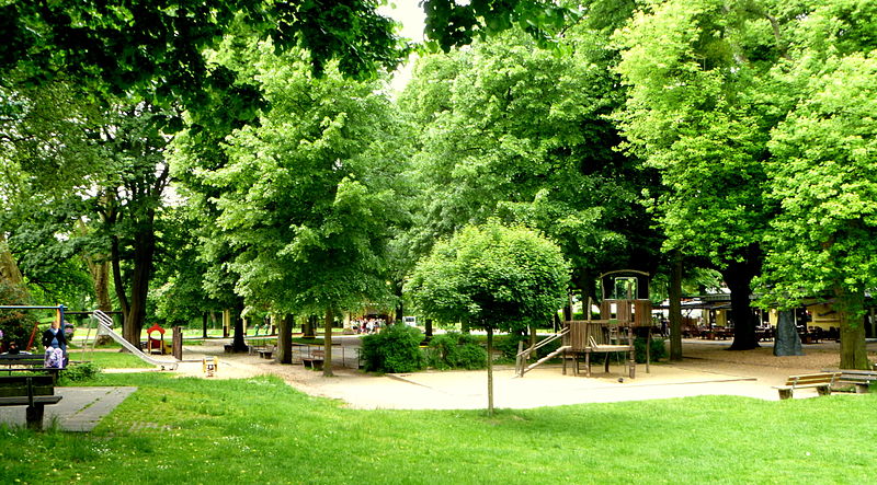
Kaiser-Friedrich-Park is a park in the south of Aachen, named after the German Emperor Frederick III, who died in 1888.
Elevation: 636 ft a.s.l.Coordinates: 50°45'33"N, 6°4'24"E
Address
Hermann-Löns-Allee 3Aachen Mitte (Hangeweiher)Aachen 52074
ContactAdd
Social media
Add
Day trips
Kaiser-Friedrich-Park – popular in the area (distance from the attraction)
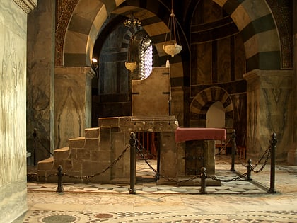
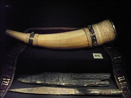
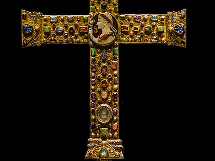
Nearby attractions include: Aachen Cathedral, Palatine Chapel, Throne of Charlemagne, Aachen Cathedral Treasury.
Frequently Asked Questions (FAQ)
Which popular attractions are close to Kaiser-Friedrich-Park?
Nearby attractions include Gut Bodenhof, Aachen (12 min walk), Old Jewish Cemetery, Aachen (13 min walk), Lavenstein, Aachen (18 min walk), St. James's Church, Aachen (20 min walk).
How to get to Kaiser-Friedrich-Park by public transport?
The nearest stations to Kaiser-Friedrich-Park:
Bus
Train
Bus
- Kaiser-Friedrich-Park • Lines: 2, 30 (2 min walk)
- Yorckstraße • Lines: 2 (4 min walk)
Train
- Aachen Schanz (19 min walk)
- Aachen Hauptbahnhof (25 min walk)
