Trek Zone

Nenndorf, Bad Nenndorf
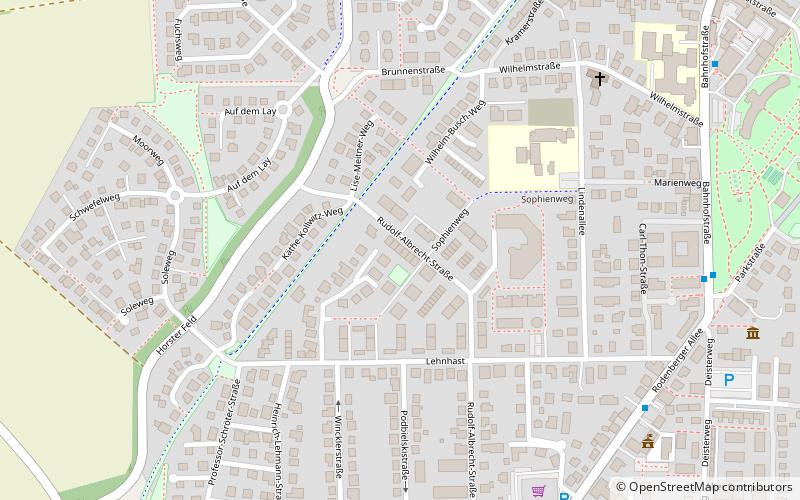
#2 among attractions in Bad Nenndorf

Sightseeing
Nenndorf location map
Map

Facts and practical information

Local name: Samtgemeinde Nenndorf Area: 19.85 mi²Coordinates: 52°19'60"N, 9°22'0"E
Address

Bad Nenndorf Germany

Contact
Social media
Add
Day trips

Nenndorf – popular in the area (distance from the attraction)

Nearby attractions include: St.-Lukas-Kirche, Sigwardskirche, St. Jacobi, Open-air theater.

  • st lukas kirche lauenau4.2 miS
  • sigwardskirche4.8 miN
  • st jacobi rodenberg1.4 miS
  • open air theater barsinghausen4.8 miSE
  • rittergut remeringhausen stadthagen4.1 miW
  • schloss lauenau4.1 miS
  • judischer friedhof lauenau4 miS
  • agnes miegel haus bad nenndorf~1740 ftE
  • maria vom heiligen rosenkranz bad nenndorf~1230 ftNE
  • maria himmelfahrt rodenberg1.4 miSW
  • apelern3.3 miSW

Frequently Asked Questions (FAQ)

Which popular attractions are close to Nenndorf?

Nearby attractions include Maria vom heiligen Rosenkranz, Bad Nenndorf (6 min walk), Agnes-Miegel-Haus, Bad Nenndorf (9 min walk).

Where to next? Visit lower saxony Lower Saxony region page or discover the top tourist attractions in Germany.