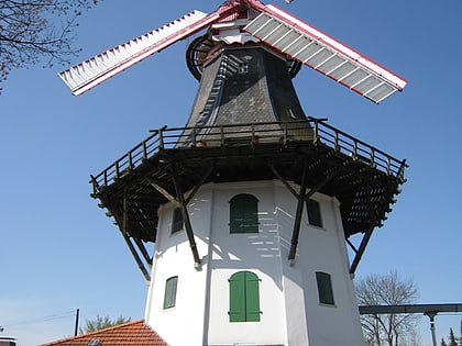
Horner Mühle, Bremen
Map
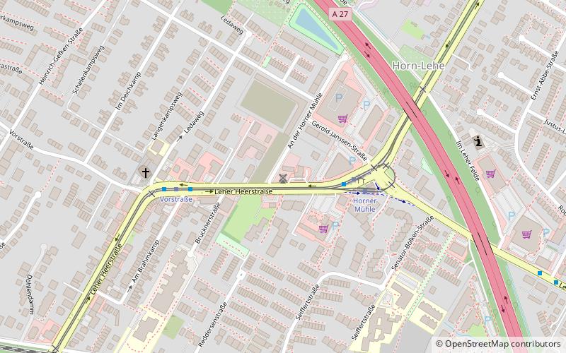
Map

Facts and practical information
Horner Mühle may stand for: Horner Mühle, windmill in the district of Horn-Lehe, Bremen, Horner Mühle, residential site near the hamlet of Horn in the municipality of Göggingen in the Ostalbkreis district of Baden-Württemberg, Germany.
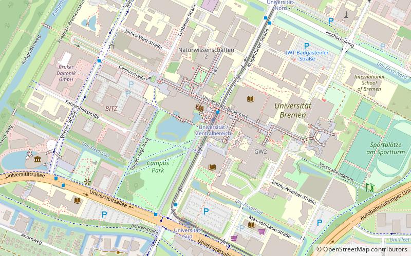
Coordinates: 53°6'6"N, 8°52'40"E
Day trips
Horner Mühle – popular in the area (distance from the attraction)
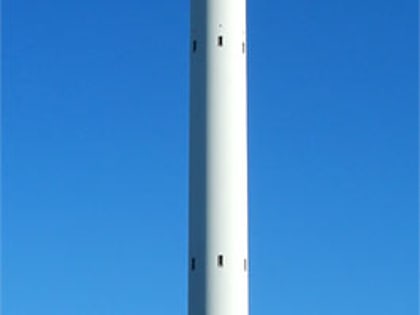
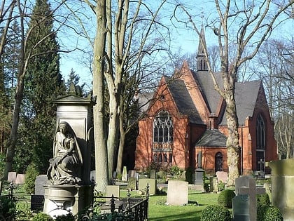
Nearby attractions include: Rhododendron-Park Bremen, Focke-Museum, Fallturm Bremen, Riensberger Friedhof.
Frequently Asked Questions (FAQ)
Which popular attractions are close to Horner Mühle?
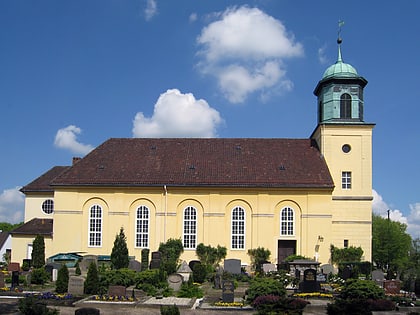
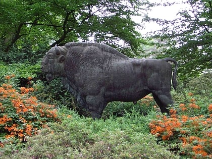
Nearby attractions include Horner Kirche, Bremen (13 min walk), Wisent-Denkmal, Bremen (19 min walk), Rhododendron-Park Bremen, Bremen (20 min walk), Focke-Museum, Bremen (22 min walk).
How to get to Horner Mühle by public transport?
The nearest stations to Horner Mühle:
Bus
Tram
Bus
- Horner Mühle • Lines: 33, 34, N3 (3 min walk)
- Vorstraße • Lines: 33, 34, N3 (4 min walk)
Tram
- Horner Mühle • Lines: 1, 4, N4 (3 min walk)
- Vorstraße • Lines: 1, 4, N4 (4 min walk)
