Park Holdheim, Bremen
Map

Map

Facts and practical information
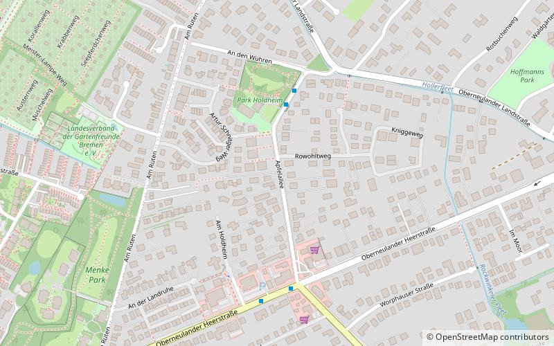
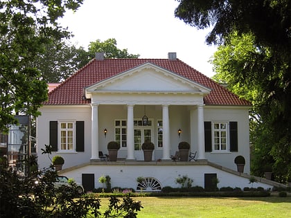
Gut Holdheim is a former estate with manor house and park in Bremen-Oberneuland at Apfelallee No. 30. It has been a listed building since 1973.
Elevation: 16 ft a.s.l.Coordinates: 53°6'8"N, 8°54'7"E
Day trips
Park Holdheim – popular in the area (distance from the attraction)
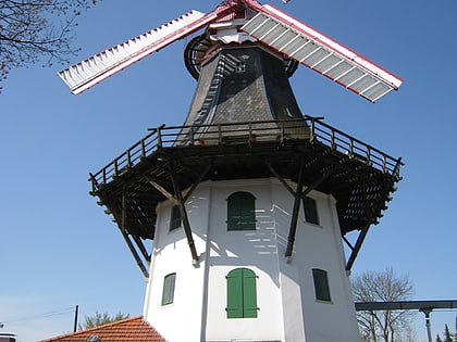
Nearby attractions include: Rhododendron-Park Bremen, Horner Mühle, Heinekenspark, Wisent-Denkmal.
Frequently Asked Questions (FAQ)
How to get to Park Holdheim by public transport?
The nearest stations to Park Holdheim:
Bus
Tram
Bus
- An den Wühren • Lines: 33 (3 min walk)
- Apfelallee • Lines: 33, 34, N3 (4 min walk)
Tram
- Kopernikusstraße • Lines: 1, 4, N4 (20 min walk)
- Werner-von-Siemens-Straße • Lines: 1, 4, N4 (20 min walk)


