St. Cäcilia-Kirche, Bonn
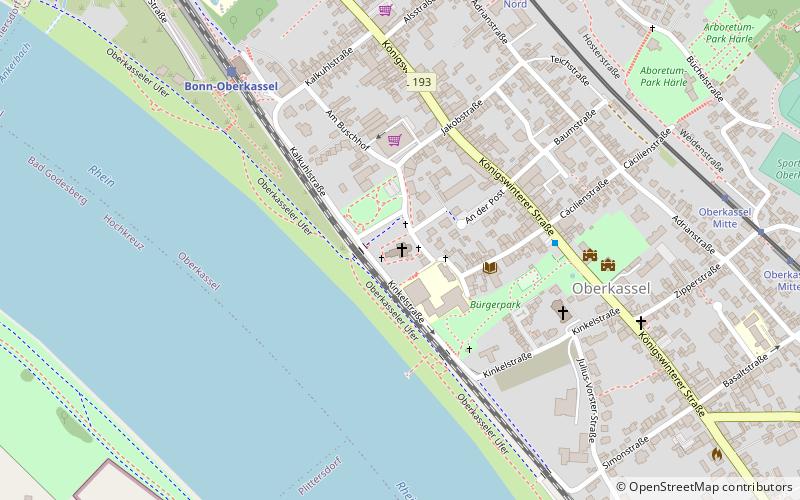
Map
Gallery
Facts and practical information
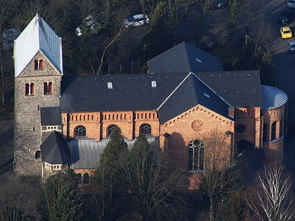
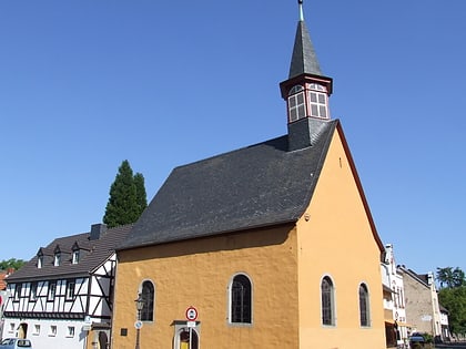
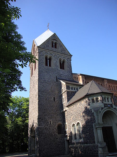
The Roman Catholic parish church of St. Cäcilia in the Oberkassel district of Bonn is of medieval origin. It, including the rectory, the former churchyard and two stone path crosses, is listed as an architectural monument.
Coordinates: 50°42'45"N, 7°9'47"E
Address
Am MagdalenenkreuzBeuel (Oberkassel)Bonn
ContactAdd
Social media
Add
Day trips
St. Cäcilia-Kirche – popular in the area (distance from the attraction)
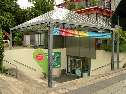
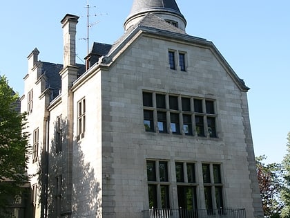
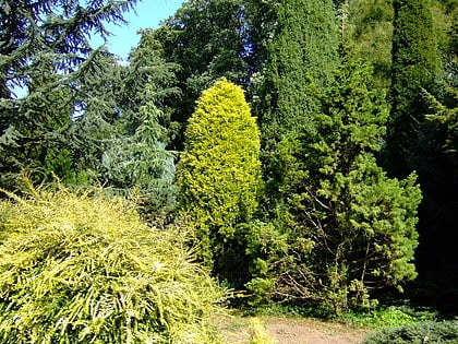
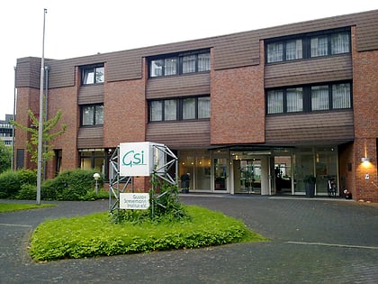
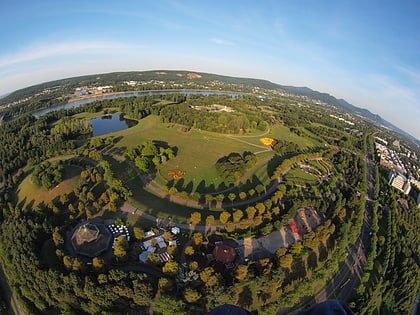
Nearby attractions include: Deutsches Museum Bonn, Haus Carstanjen, Arboretum Park Härle, Gustav Stresemann Institute.
Frequently Asked Questions (FAQ)
Which popular attractions are close to St. Cäcilia-Kirche?
Nearby attractions include Oberkassel, Bonn (6 min walk), Alte Evangelische Kirche, Bonn (7 min walk), Arboretum Park Härle, Bonn (10 min walk), Burgwüstung Steiner Häuschen, Bonn (11 min walk).
How to get to St. Cäcilia-Kirche by public transport?
The nearest stations to St. Cäcilia-Kirche:
Bus
Train
Tram
Light rail
Bus
- Oberkassel Mitte • Lines: N8 (4 min walk)
- Im Mohrenfeld • Lines: 541, N8 (13 min walk)
Train
- Bonn-Oberkassel (6 min walk)
Tram
- Oberkassel Nord • Lines: 62, 66 (8 min walk)
- Ramersdorf • Lines: 62, 65, 66, 68 (20 min walk)
Light rail
- Max-Löbner-Straße • Lines: 16, 63, 67 (36 min walk)
- Hochkreuz / Deutsches Museum Bonn • Lines: 16, 63, 67 (37 min walk)
