Bemberg, Hemer
Map

Map

Facts and practical information
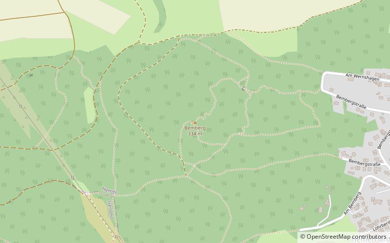
The Bemberg is an elevation in the northwest of Hemer. It is located in the southwest of the Menden Hills near the settlement of Hemerhardt. The name originated from the term been or benne, indicating the former vegetation of the area. Today, a large part of the Bemberg is forested.
Coordinates: 51°23'41"N, 7°44'45"E
Address
Hemer
ContactAdd
Social media
Add
Day trips
Bemberg – popular in the area (distance from the attraction)
Nearby attractions include: Felsenmeermuseum, Ebbergkirche, Church of Sts. Peter and Paul, University of Europe for Applied Sciences.
Frequently Asked Questions (FAQ)
Which popular attractions are close to Bemberg?
Nearby attractions include Church of Sts. Peter and Paul, Hemer (17 min walk), Ebbergkirche, Hemer (18 min walk).
How to get to Bemberg by public transport?
The nearest stations to Bemberg:
Bus
Bus
- Hemerhardt • Lines: 13 (11 min walk)
- Grafschaftsweg • Lines: 13, S3 (12 min walk)


