Trek Zone

Schweinsberg Hill, Heilbronn
#8 among attractions in Heilbronn

Nature, Natural attraction, Mountain
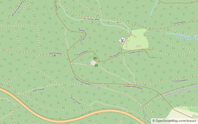
Schweinsberg Hill location map
Map

Facts and practical information

Local name: Schweinsberg Elevation: 1223 ftCoordinates: 49°6'38"N, 9°14'56"E
Address

Heilbronn Germany

ContactAdd
Social media
Add
Day trips

Schweinsberg Hill – popular in the area (distance from the attraction)

Nearby attractions include: Burg Stettenfels, Kilianskirche, Kolbenschmidt Arena, Trappensee.

  • burg stettenfels untergruppenbach2.1 miSE
  • kilianskirche heilbronn2.5 miNW
  • knorr arena heilbronn2.9 miNW
  • trappensee heilbronn2 miN
  • freibad untergruppenbach1.6 miSE
  • theater heilbronn2.7 miNW
  • haus der stadtgeschichte otto rettenmaier haus heilbronn2.5 miNW
  • church of sts peter and paul heilbronn2.6 miNW
  • flein heilbronn1.8 miSW
  • pfuhlpark heilbronn2.1 miN
  • wilhelm waiblinger haus heilbronn2.8 miNW

Frequently Asked Questions (FAQ)

How to get to Schweinsberg Hill by public transport?

The nearest stations to Schweinsberg Hill:

Bus
  • Donnbronn, Donnbronner Höhe • Lines: 640 (20 min walk)
  • Donnbronn, Kurze Straße • Lines: 642 (23 min walk)

Where to next? Visit baden wurttemberg Baden-Württemberg region page or discover the top tourist attractions in Germany.