Roßkopf, Spitzingsee
Map

Gallery

Facts and practical information
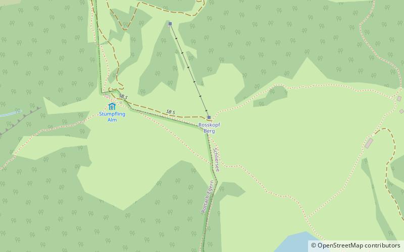
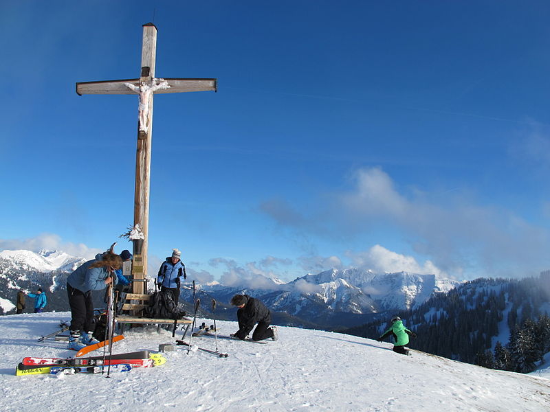
The Roßkopf is a 1,580-metre-high peak in the Mangfall Mountains in Upper Bavaria. It lies in the south of the district of Miesbach right on the boundary between the parishes of Schliersee in the east and Rottach-Egern in the west, which forms the watershed between the lakes of Schliersee and Tegernsee. Other peaks on this line are the Bodenschneid and the Rinnerspitz further north. ()
Address
Spitzingsee
ContactAdd
Social media
Add
Day trips
Roßkopf – popular in the area (distance from the attraction)
Nearby attractions include: Rotwand, Schliersee Lake, Soinsee, Schlierseer Bauerntheater.


