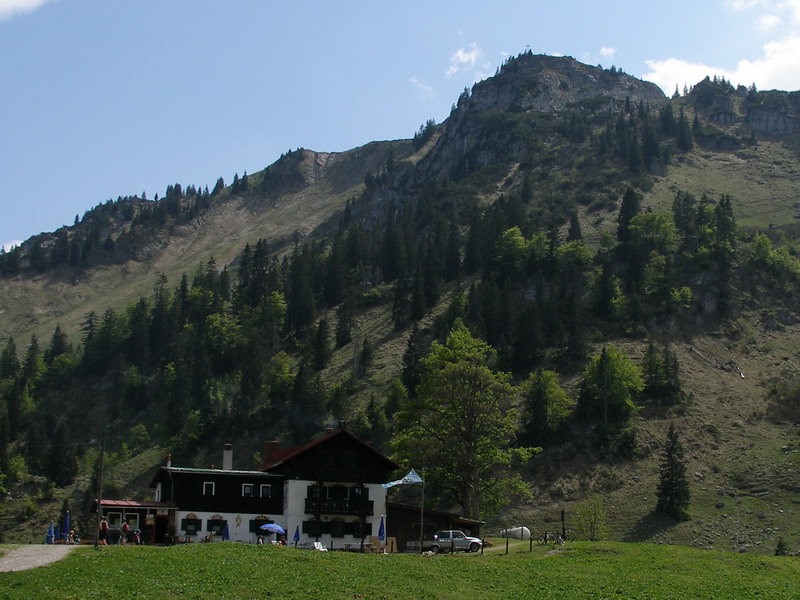
Bodenschneid, Spitzingsee

Gallery (3)
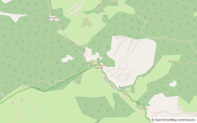
Map
Map
Gallery
Facts and practical information
The Bodenschneid is a 1,668 m high mountain in the Schliersee Mountains in the Mangfall range in the German Free State of Bavaria. ()
Address
Spitzingsee
ContactAdd
Social media
Add
Day trips


