Röhrenbrunnen, Aachen
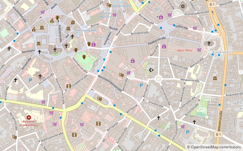
Map
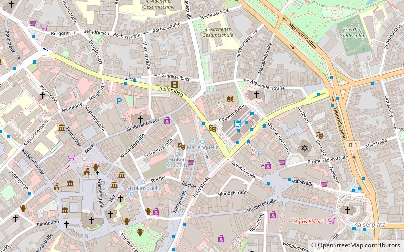
Map

Facts and practical information
The Röhrenbrunnen is a fountain in Aachen. It is located on a triangular square between Komphausbadstraße and Kurhausstraße north of the Old Kurhaus. The fountain was created in 1971 by sculptor Heinz Tobolla.
The fountain basin is bordered by a low concrete parapet in the form of three overlapping circles of different diameters. In the basin, 40 stainless steel tubes of the same thickness but different heights are arranged in a serpentine line. Water sprays into the basin from the top of the tubes.
Coordinates: 50°46'38"N, 6°5'19"E
Address
Aachen Mitte (Innenstadt)Aachen
ContactAdd
Social media
Add
Day trips
Röhrenbrunnen – popular in the area (distance from the attraction)
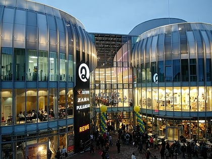
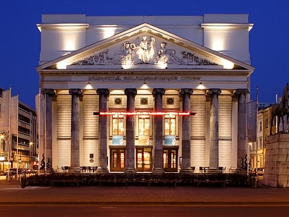
Nearby attractions include: Aachen Cathedral, City Hall, Statue of Charlemagne, Aquis Plaza.
Frequently Asked Questions (FAQ)
Which popular attractions are close to Röhrenbrunnen?
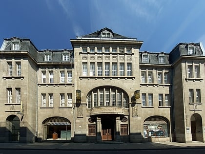
Nearby attractions include Stadtbibliothek Aachen, Aachen (2 min walk), Antoniusstraße, Aachen (3 min walk), St. Peter's Church, Aachen (3 min walk), St. Nicholas, Aachen (3 min walk).
How to get to Röhrenbrunnen by public transport?
The nearest stations to Röhrenbrunnen:
Bus
Train
Bus
- Aachen Bushof • Lines: 1, 11, 12, 125, 135, 14, 147, 15, 151, 16, 17, 173, 2, 21, 22, 220, 23, 24, 25, 27, 31, 33, 34, 35, 350, 36, 37, 4, 41, 43, 44, 45, 46, 47, 5, 51, 52, 53, 54, 55, 65, 66, 7, 73, 74, 75, N 1, N 2, N 3, N 4, N 5, N 6, N 60, N 7, N 8, N 9, Sb 20, Sb 63, Sb 66 (3 min walk)
- Minoritenstraße • Lines: 1, 147, 17, 173, 27, 33, 37, 4, 41, 43, 47, 7, 73, N 2, N 4 (4 min walk)
Train
- Aachen Hauptbahnhof (18 min walk)
- Aachen Schanz (22 min walk)


