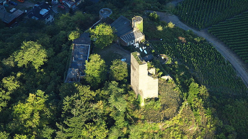
Coraidelstein, Klotten

Gallery (2)
Map
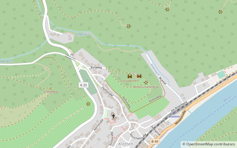
Map
Gallery
Facts and practical information
Coraidelstein is a place located in Klotten (Rhineland-Palatinate state) and belongs to the category of forts and castles.
It is situated at an altitude of 502 feet, and its geographical coordinates are 50°10'3"N latitude and 7°11'59"E longitude.
Among other places and attractions worth visiting in the area are: Bundesbank-Bunker Cochem, Cochem (specialty museum, 40 min walk), Klotten Wildlife and Leisure Park (amusement, 44 min walk), Cochem, Cochem (observation decks and towers, 52 min walk).
Coordinates: 50°10'3"N, 7°11'59"E
Address
Klotten
ContactAdd
Social media
Add
Day trips