Chlodwigplatz, Düren
Map

Map

Facts and practical information
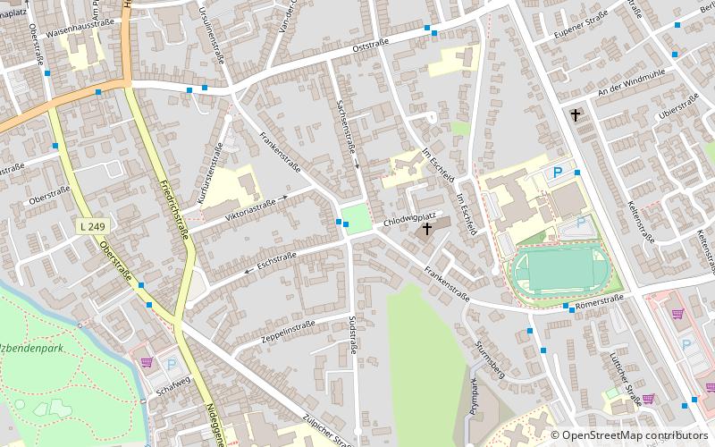
Chlodwigplatz in the district town of Düren is an inner-city street.
The square has a lawn inside with large trees. Südstraße, Sachsenstraße, Frankenstraße and Eschstraße meet at Chlodwigplatz.
Elevation: 446 ft a.s.l.Coordinates: 50°47'52"N, 6°29'33"E
Address
Düren
ContactAdd
Social media
Add
Day trips
Chlodwigplatz – popular in the area (distance from the attraction)
Nearby attractions include: Leopold-Hoesch-Museum, Christ Church, Annakirche, Arena Kreis Düren.
Frequently Asked Questions (FAQ)
Which popular attractions are close to Chlodwigplatz?
Nearby attractions include Arena Kreis Düren, Düren (10 min walk), Pletzergassenturm, Düren (10 min walk), Annakirche, Düren (12 min walk), Wirtelstraße, Düren (15 min walk).
How to get to Chlodwigplatz by public transport?
The nearest stations to Chlodwigplatz:
Bus
Train
Bus
- Chlodwigplatz • Lines: 204, 214, Stadtring B (1 min walk)
- Römerstraße • Lines: 204 (6 min walk)
Train
- Annakirmesplatz (21 min walk)
- Düren (24 min walk)


