Schloss Eller, Düsseldorf
Map
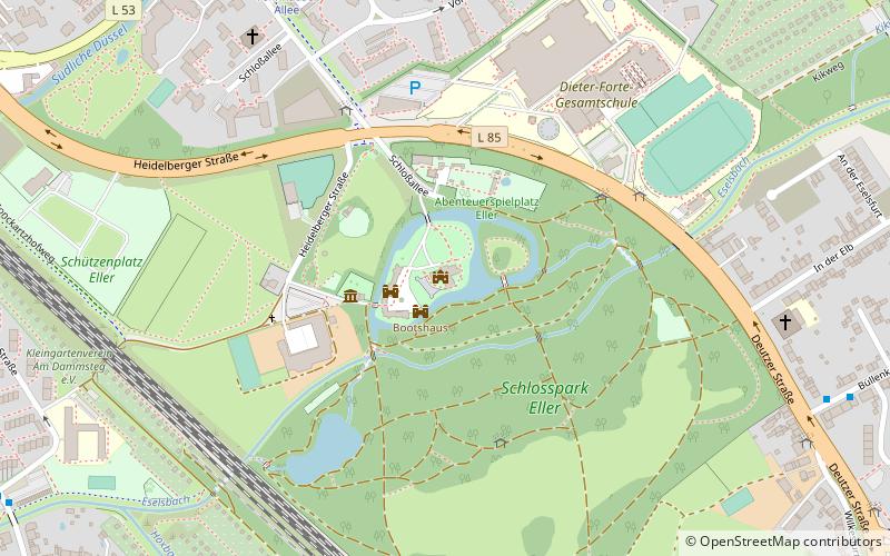
Map

Facts and practical information
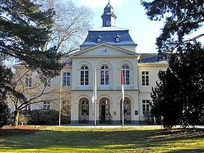
Schloss Eller, until the first half of the 20th century usually called Haus Eller, is a manor house built in 1826 on the site of a medieval moated castle in the Düsseldorf district of Eller.
Coordinates: 51°11'42"N, 6°50'58"E
Day trips
Schloss Eller – popular in the area (distance from the attraction)
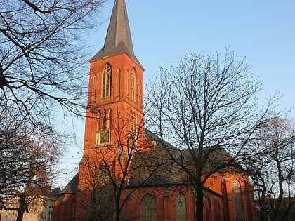
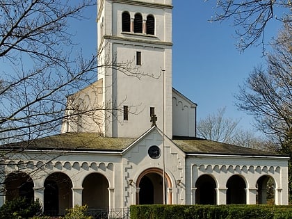
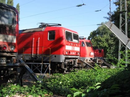
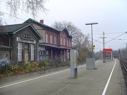
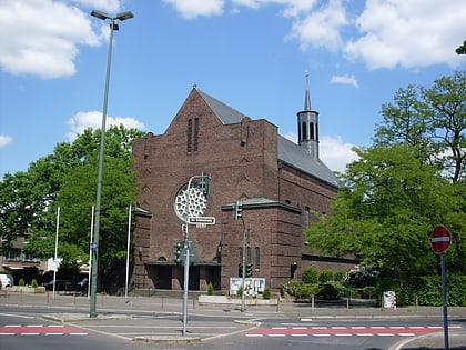
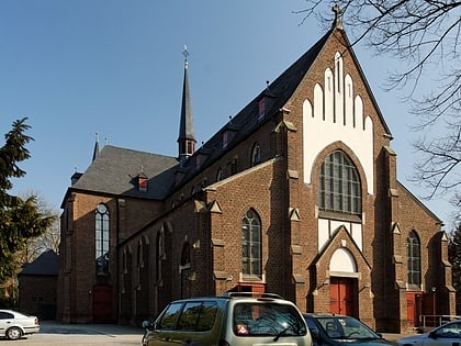
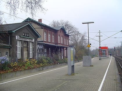
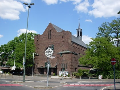
Nearby attractions include: St. Gertrud, Castle Church, Classic Remise, Kulturbahnhof Eller.
Frequently Asked Questions (FAQ)
Which popular attractions are close to Schloss Eller?
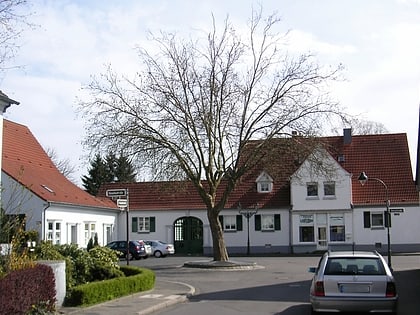
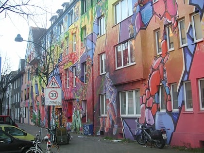
Nearby attractions include Castle Church, Düsseldorf (7 min walk), St. Gertrud, Düsseldorf (12 min walk), Kulturbahnhof Eller, Düsseldorf (14 min walk), Eller, Düsseldorf (17 min walk).
How to get to Schloss Eller by public transport?
The nearest stations to Schloss Eller:
Metro
Bus
Tram
Train
Metro
- Vennhauser Allee • Lines: U75 (8 min walk)
- Alt Eller • Lines: U75 (12 min walk)
Bus
- Vennhauser Allee • Lines: 722, 724, 730, 731, 732, 735, 815, 891, M1, Ne6 (8 min walk)
- Deutzer Straße • Lines: 730, 815 (10 min walk)
Tram
- Vennhauser Allee • Lines: 705 (8 min walk)
- Alt Eller • Lines: 705 (12 min walk)
Train
- Düsseldorf-Eller (14 min walk)
- Düsseldorf-Eller Süd (16 min walk)
