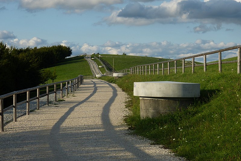
Schuttberg, Augsburg

Gallery (3)
Map
Map
Gallery
Facts and practical information
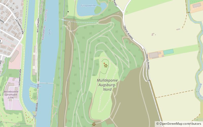
Augsburger Müllberg, also called Augsburger Schuttberg, is an artificial elevation in the north of the Augsburg city area. The rubble mountain of the Augsburg-Nord landfill rises about 55 meters above its surroundings, which are located about 457 meters above sea level, to a height of 512 meters.
Coordinates: 48°25'12"N, 10°53'39"E
Address
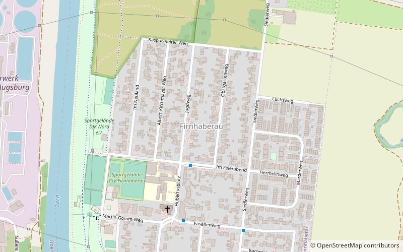
FirnhaberauAugsburg
ContactAdd
Social media
Add
Getting there by public transportation
Public transportation stops near this location
- Bus
 Bus
Bus
- Calculate routeGersthofen Sankt Emmeram 19 min walk
- Calculate routeGersthofen Festplatz 19 min walk
- Calculate routeGersthofen Gerfriedswelle 20 min walk
- Calculate routeGersthofen Strasser 20 min walk
Day trips


Frequently Asked Questions (FAQ)
Which popular attractions are close to Schuttberg?
Nearby attractions include St. Emmeram, Augsburg (18 min walk), Augsburg-Firnhaberau, Augsburg (20 min walk), Gersthofen, Augsburg (21 min walk).
How to get to Schuttberg by public transport?
The nearest stations to Schuttberg:
Bus
Bus
- Gersthofen Sankt Emmeram • Lines: 306, 401, 420, 51, 512, 52, 54, 56, 57, 95 (19 min walk)
- Gersthofen Festplatz • Lines: 306, 401, 410, 420, 51, 52, 54, 56, 57, 95 (19 min walk)