Proviantbach, Augsburg
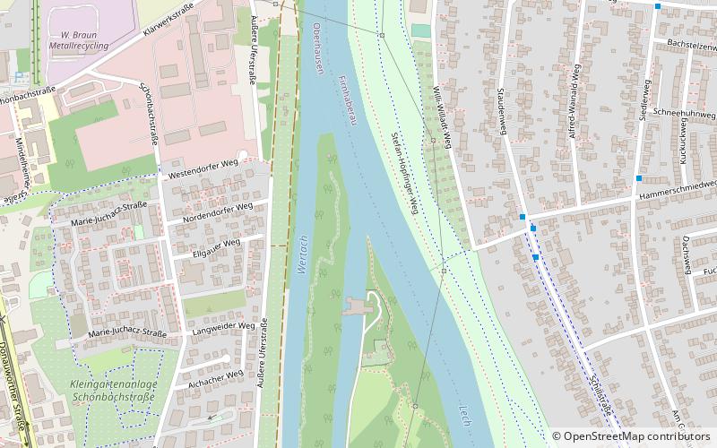
Map
Facts and practical information
Address
Oberhausen (Rechts der Wertach)Augsburg
ContactAdd
Social media
Add
Getting there by public transportation
Public transportation stops near this location
- Bus
- Tram
 Bus
Bus
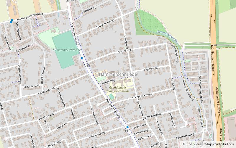
- Calculate routeHammerschmiedweg 5 min walk
- Calculate routeSiedlerweg 8 min walk
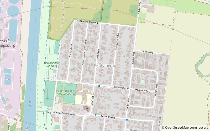
- Calculate routeFirnhaberau 10 min walk
- Calculate routeLukassiedlung 11 min walk
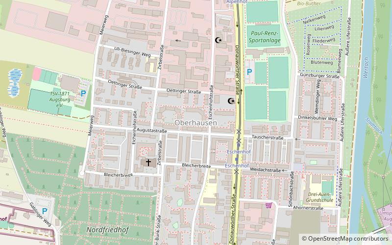
- Calculate routeOberhausen Nord P+R 12 min walk
- Calculate routeAlpenhof 12 min walk
- Calculate routeEschenhof 19 min walk
- Calculate routeZollernstraße 27 min walk
Day trips


Frequently Asked Questions (FAQ)
Which popular attractions are close to Proviantbach?
Nearby attractions include Augsburg-Firnhaberau, Augsburg (13 min walk), Augsburg-Oberhausen, Augsburg (19 min walk).
How to get to Proviantbach by public transport?
The nearest stations to Proviantbach:
Bus
Tram
Bus
- Hammerschmiedweg • Lines: 22, 23, 93 (5 min walk)
- Siedlerweg • Lines: 22, 23, 93 (8 min walk)
Tram
- Oberhausen Nord P+R • Lines: 4 (12 min walk)
- Alpenhof • Lines: 4 (12 min walk)