Stadtmuseum Amberg, Amberg
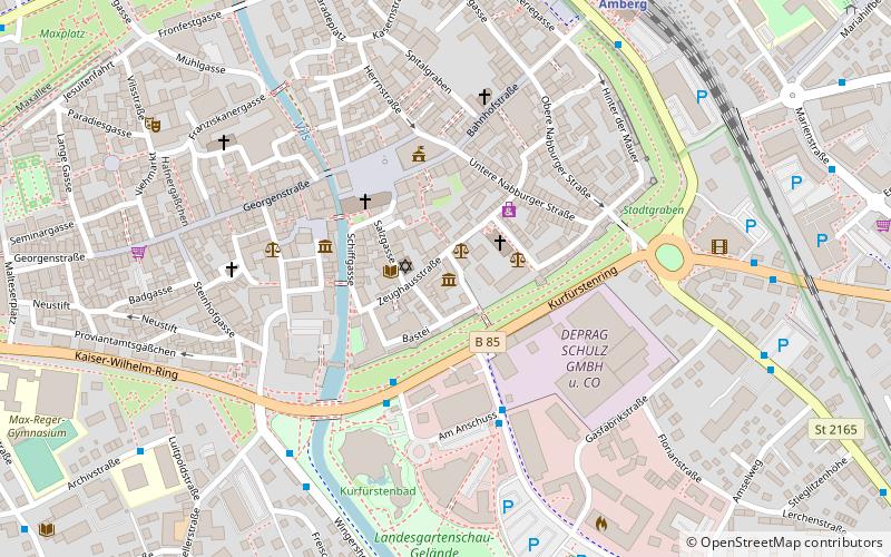
Map

Map

Facts and practical information
The Amberg City Museum is the municipal museum of the city of Amberg. Since 1989 it has been located in the "Baustadel", a storage building of the 15th/16th century. In 2001/02 the museum underwent a significant enlargement with a modern extension. It is part of the North Bavarian Industrial Route.
Coordinates: 49°26'38"N, 11°51'34"E
Day trips
Stadtmuseum Amberg – popular in the area (distance from the attraction)
Nearby attractions include: Stadttheater Amberg, Electoral Palace, Amberger Congress Centrum, Basilika Sankt Martin.
Frequently Asked Questions (FAQ)
Which popular attractions are close to Stadtmuseum Amberg?
Nearby attractions include Synagoge Amberg, Amberg (1 min walk), Stadtbibliothek Amberg, Amberg (2 min walk), Basilika Sankt Martin, Amberg (3 min walk), Amberger Congress Centrum, Amberg (3 min walk).
How to get to Stadtmuseum Amberg by public transport?
The nearest stations to Stadtmuseum Amberg:
Bus
Train
Bus
- Kurfürstenbad • Lines: 10;410, 3;403, 4;404, 5;405, 6;406, 60;460 (3 min walk)
- Acc • Lines: 9;409 (4 min walk)
Train
- Amberg (8 min walk)


