Mariahilfberg, Amberg
Map

Map

Facts and practical information
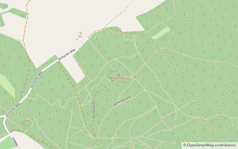
The Mariahilfberg in the Upper Palatinate hill country is with 529 m above sea level the highest elevation of the city of Amberg. On the mountain is the pilgrimage church Maria Hilf on the site of the departed castle Amberg.
Coordinates: 49°27'29"N, 11°52'21"E
Address
Amberg
ContactAdd
Social media
Add
Day trips
Mariahilfberg – popular in the area (distance from the attraction)
Nearby attractions include: Stadttheater Amberg, Electoral Palace, Stadtmuseum Amberg, Amberger Congress Centrum.
Frequently Asked Questions (FAQ)
How to get to Mariahilfberg by public transport?
The nearest stations to Mariahilfberg:
Bus
Train
Bus
- Hellstraße • Lines: 14;414 (17 min walk)
- Von-der-Sitt-Straße • Lines: 11;411 (19 min walk)
Train
- Amberg (22 min walk)


