Unterföhring, Munich

Gallery (1)
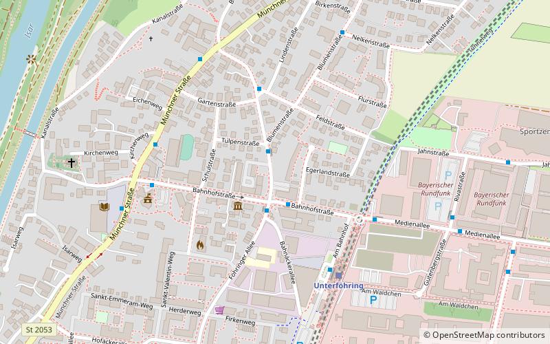
Map
Map
Facts and practical information
Unterföhring is a municipality in Upper Bavaria. It lies adjacent to the northeast side of Munich, and is one of the nearest suburbs to Munich's central district. ()
Getting there by public transportation
Public transportation stops near this location
- Bus
- Tram
- Train
 Bus
Bus
- Calculate routeUnterföhring, Tulpenstraße 1 min walk
- Calculate routeUnterföhring 4 min walk
- Calculate routeUnterföhring 5 min walk
- Calculate routeSt. Emmeram 33 min walk
Day trips


Frequently Asked Questions (FAQ)
How to get to Unterföhring by public transport?
The nearest stations to Unterföhring:
Bus
Train
Tram
Bus
- Unterföhring, Tulpenstraße • Lines: 232 (1 min walk)
- Unterföhring • Lines: 189, 232, 233, 234 (4 min walk)
Train
- Unterföhring (5 min walk)
Tram
- St. Emmeram • Lines: 16, 37 (33 min walk)