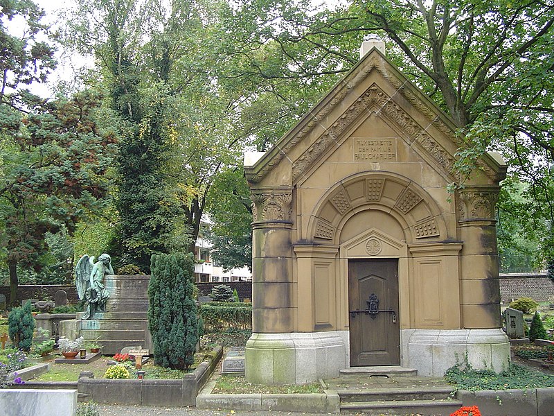
Cologne Mülheim Protestant Cemetery, Cologne
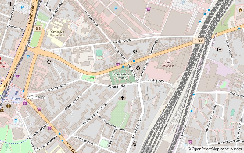
Map

Gallery

Facts and practical information
Day trips
Cologne Mülheim Protestant Cemetery – popular in the area (distance from the attraction)
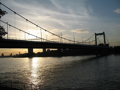
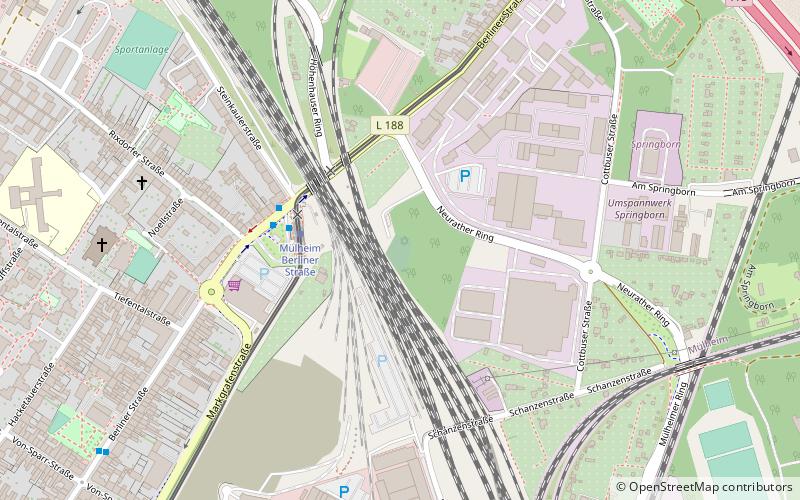
Nearby attractions include: Mülheim Bridge, Katholischer Friedhof Köln-Mülheim, Mülheimer Friedhof, Jüdischer Friedhof Köln-Mülheim.
Frequently Asked Questions (FAQ)
Which popular attractions are close to Cologne Mülheim Protestant Cemetery?
Nearby attractions include Mülheim, Cologne (9 min walk), Stadthalle Köln-Mülheim, Cologne (10 min walk), Church of Peace, Cologne (13 min walk), Palladium, Cologne (13 min walk).
How to get to Cologne Mülheim Protestant Cemetery by public transport?
The nearest stations to Cologne Mülheim Protestant Cemetery:
Bus
Train
Tram
Bus
- Montanusstraße • Lines: 159 (2 min walk)
- Ackerstraße • Lines: 150 (7 min walk)
Train
- Köln-Mülheim (8 min walk)
- Köln-Buchforst (18 min walk)
Tram
- Wiener Platz • Lines: 13, 18, 4 (9 min walk)
- Keupstraße • Lines: 4 (10 min walk)


