Mülheim Bridge, Cologne
Map

Map

Facts and practical information
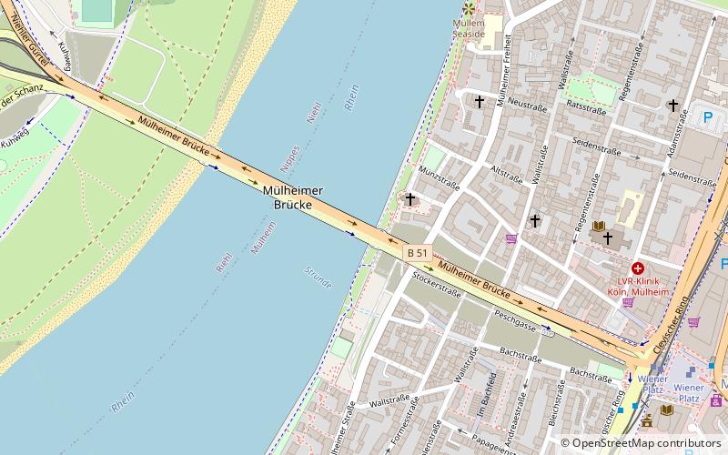
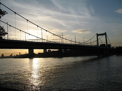
The Mülheim Bridge in Cologne is a suspension bridge on the river Rhine in western Germany. It has a main span of 315 metres. The bridge was originally completed in 1929. On October 14–15, 1944, an American bomb struck the chamber containing the demolition charges, destroying the bridge. The bridge was rebuilt between 1949 and 1951. It connects the city district Riehl on the west side of the river with Mülheim on the east side, after which the bridge is named. ()
Address
Mülheimer UferMülheimCologne
ContactAdd
Social media
Add
Day trips
Mülheim Bridge – popular in the area (distance from the attraction)
Nearby attractions include: Kölner Zoo, Flora Botanical Garden, Rheinpark, Claudius Therme.
Frequently Asked Questions (FAQ)
Which popular attractions are close to Mülheim Bridge?
Nearby attractions include St. Clemens, Cologne (2 min walk), Church of Peace, Cologne (5 min walk), Stadthalle Köln-Mülheim, Cologne (10 min walk), Cologne Mülheim Protestant Cemetery, Cologne (17 min walk).
How to get to Mülheim Bridge by public transport?
The nearest stations to Mülheim Bridge:
Bus
Tram
Train
Bus
- Wiener Platz • Lines: 150, 159, 250 (10 min walk)
- Danzierstraße • Lines: 150, 155, 260, 434, N26 (9 min walk)
Tram
- Wiener Platz • Lines: 13, 18, 4 (9 min walk)
- Slabystraße • Lines: 13, 18 (12 min walk)
Train
- Köln-Buchforst (20 min walk)
- Köln-Mülheim (21 min walk)


