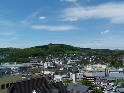
Unteres Schloss, Siegen
Map
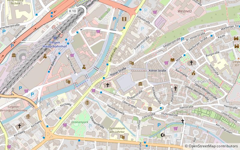
Map

Facts and practical information
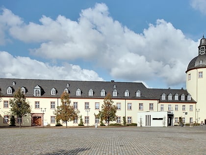
The Lower Castle, formerly also called Nassauischer Hof, is located in downtown Siegen. Originally a Franciscan monastery, the building became the residence of the Protestant line of the House of Nassau-Siegen in the 17th century. Currently, the Lower Castle is developing into another campus of the University of Siegen.
Coordinates: 50°52'27"N, 8°1'16"E
Address
10 Unteres SchloßSiegen
ContactAdd
Social media
Add
Day trips
Unteres Schloss – popular in the area (distance from the attraction)
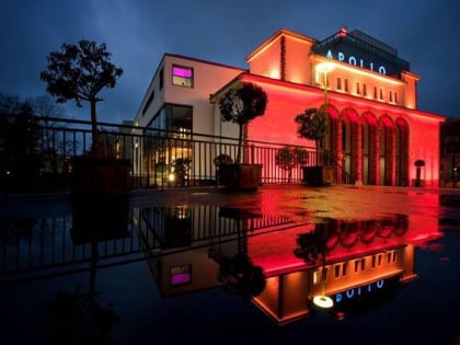
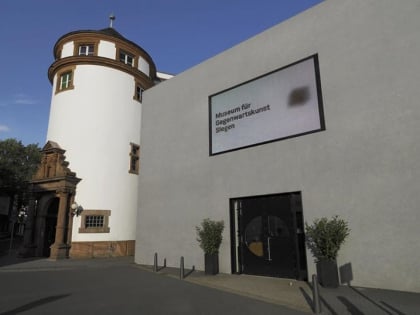
Nearby attractions include: DAV Kletterzentrum Siegerland, Martinikirche, Apollo-Theater, Museum für Gegenwartskunst.
Frequently Asked Questions (FAQ)
Which popular attractions are close to Unteres Schloss?
Nearby attractions include Goldschmiede "Am Dicken Turm", Siegen (1 min walk), Martinikirche, Siegen (2 min walk), Museum für Gegenwartskunst, Siegen (2 min walk), Apollo-Theater, Siegen (4 min walk).
How to get to Unteres Schloss by public transport?
The nearest stations to Unteres Schloss:
Bus
Train
Bus
- Siegen Kölner Tor • Lines: C100, C101, C102, C103, C104, C109, C111, C112, C130, N6, R10, R13, R14, R16, R22, R27, R51 (2 min walk)
- Siegen Obergraben • Lines: C105, C106, C107 (3 min walk)
Train
- Siegen Hauptbahnhof (6 min walk)
