Glockengasse Synagogue, Cologne
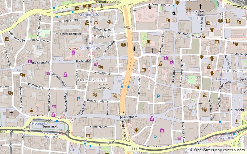
Map

Map

Facts and practical information
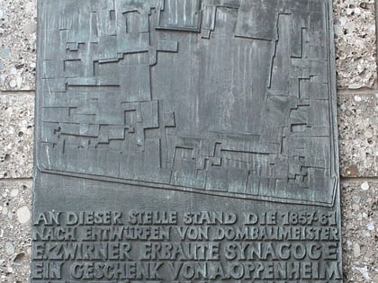
The Synagogue in Glockengasse was a synagogue in Cologne built to the plans of the architect of the Cologne Cathedral, Ernst Friedrich Zwirner. It was built on the previous Monastery of St. Clarissa, where a modest hall of prayer had been erected in the years of the French occupation and had been closed in 1853 because it was unsafe. ()
Local name: Synagoge Glockengasse Architectural style: Moorish revivalCoordinates: 50°56'18"N, 6°57'10"E
Address
Innenstadt (Altstadt-Nord)Cologne
ContactAdd
Social media
Add
Day trips
Glockengasse Synagogue – popular in the area (distance from the attraction)
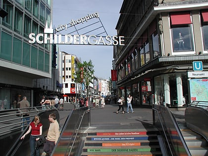
Nearby attractions include: Schildergasse, Hohe Straße, Wallraf-Richartz Museum, Antoniterkirche.
Frequently Asked Questions (FAQ)
Which popular attractions are close to Glockengasse Synagogue?
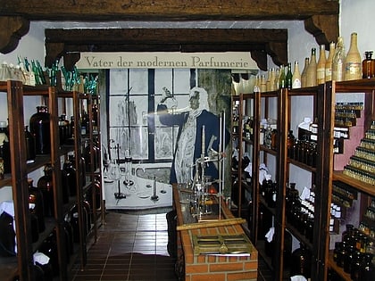
Nearby attractions include House of Fragrances 4711, Cologne (1 min walk), St. Kolumba, Cologne (2 min walk), Kolumba, Cologne (2 min walk), Cologne Opera, Cologne (2 min walk).
How to get to Glockengasse Synagogue by public transport?
The nearest stations to Glockengasse Synagogue:
Tram
Bus
Light rail
Train
Tram
- Appellhofplatz • Lines: 16, 18, 3, 4, 5 (6 min walk)
- Neumarkt • Lines: 1, 16, 18, 3, 4, 7, 9 (7 min walk)
Bus
- Neumarkt • Lines: 136, 146 (7 min walk)
- Mühlenbach • Lines: 978 (11 min walk)
Light rail
- Rathaus • Lines: 5 (8 min walk)
Train
- Cologne central station (11 min walk)
- Köln Hansaring (20 min walk)


