Gaswerk Augsburg, Augsburg
Map

Map

Facts and practical information
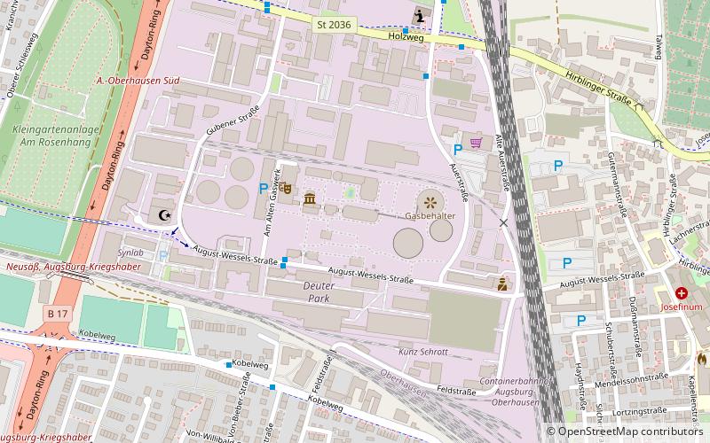
The Augsburg gas plant was put into operation in the Augsburg district of Oberhausen at the end of 1915. Since 2001, the entire gas plant with the gas boiler - a disc gas tank formerly operated at low pressure - has been decommissioned.
Coordinates: 48°23'13"N, 10°51'59"E
Day trips
Gaswerk Augsburg – popular in the area (distance from the attraction)
Nearby attractions include: Curt-Frenzel-Stadion, Holy Cross Church, Proviantbach, Mazda Classic.
Frequently Asked Questions (FAQ)
Which popular attractions are close to Gaswerk Augsburg?
Nearby attractions include Church of Sts. Peter and Paul, Augsburg (12 min walk), Abraxas, Augsburg (18 min walk), Augsburg-Oberhausen, Augsburg (21 min walk), Zweigstelle Jüdisches Kulturmuseum, Augsburg (22 min walk).
How to get to Gaswerk Augsburg by public transport?
The nearest stations to Gaswerk Augsburg:
Bus
Tram
Train
Bus
- Gaswerk • Lines: 21 (3 min walk)
- Kernriedstraße • Lines: 503 (6 min walk)
Tram
- St. Thaddäus • Lines: 2 (11 min walk)
- Heimgarten • Lines: 2 (12 min walk)
Train
- Augsburg-Oberhausen (13 min walk)


