Krailling, Munich
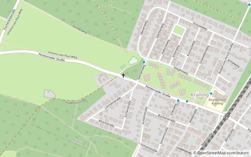
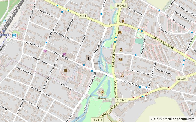
Map
Facts and practical information
Krailling is a municipality in the district of Starnberg in Bavaria, Germany. ()
Getting there by public transportation
Public transportation stops near this location
- Bus
- Train
 Bus
Bus
- Calculate routeSperberweg 3 min walk
- Calculate routeErlenweg 6 min walk
- Calculate routeKrailling, Rathaus 7 min walk
- Calculate routeStockdorf 13 min walk
- Calculate routePlanegg 19 min walk
Day trips


Frequently Asked Questions (FAQ)
How to get to Krailling by public transport?
The nearest stations to Krailling:
Bus
Train
Bus
- Sperberweg • Lines: 967 (3 min walk)
- Erlenweg • Lines: 966, 967, X920 (6 min walk)
Train
- Stockdorf (13 min walk)
- Planegg (19 min walk)