Planegg, Munich
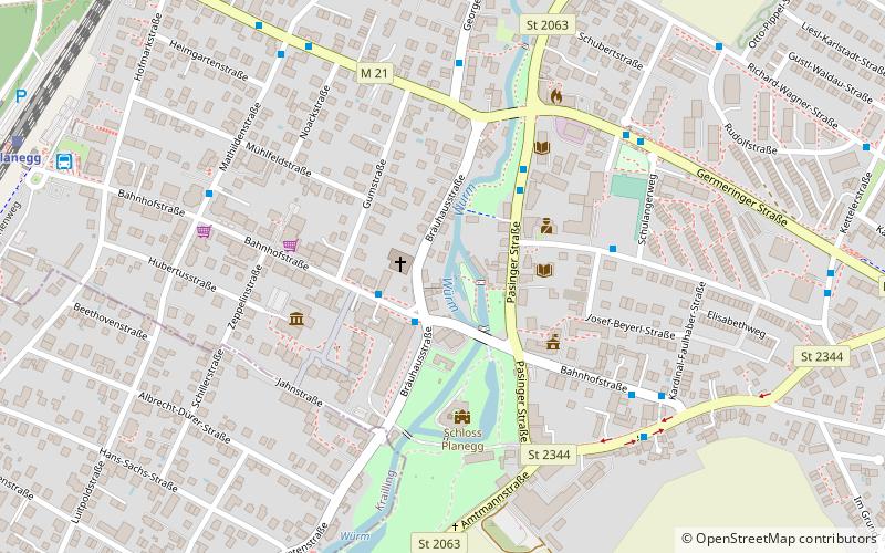
Map
Facts and practical information
Getting there by public transportation
Public transportation stops near this location
- Bus
- Train
 Bus
Bus
- Calculate routePlanegg, Bräuhausstraße 2 min walk
- Calculate routePlanegg, Tandlerschlucht 3 min walk
- Calculate routePlanegg, Germeringer Straße 5 min walk
- Calculate routeKardinal-Faulhaber-Straße 6 min walk
- Calculate routePlanegg 11 min walk
- Calculate routeGräfelfing 29 min walk
- Calculate routeStockdorf 32 min walk
Day trips


Frequently Asked Questions (FAQ)
How to get to Planegg by public transport?
The nearest stations to Planegg:
Bus
Train
Bus
- Planegg, Bräuhausstraße • Lines: 258, 260V, 265, 266, 966, 967 (2 min walk)
- Planegg, Tandlerschlucht • Lines: 258, 265, 968 (3 min walk)
Train
- Planegg (11 min walk)
- Gräfelfing (29 min walk)