Strelasund Crossing, Stralsund
Map
Gallery
Facts and practical information
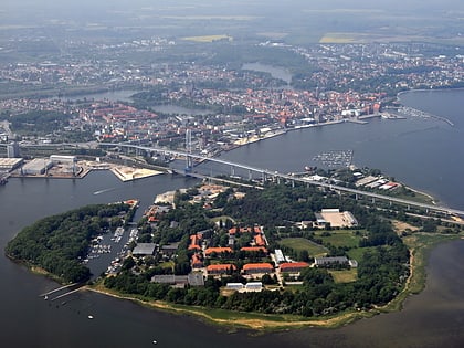
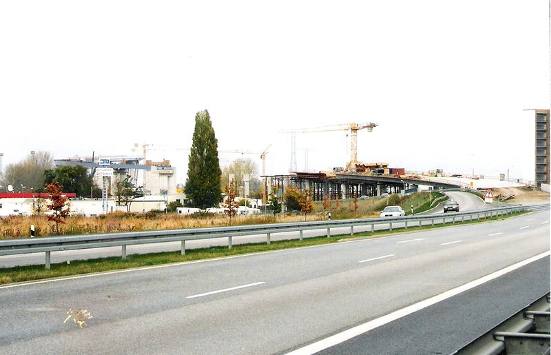
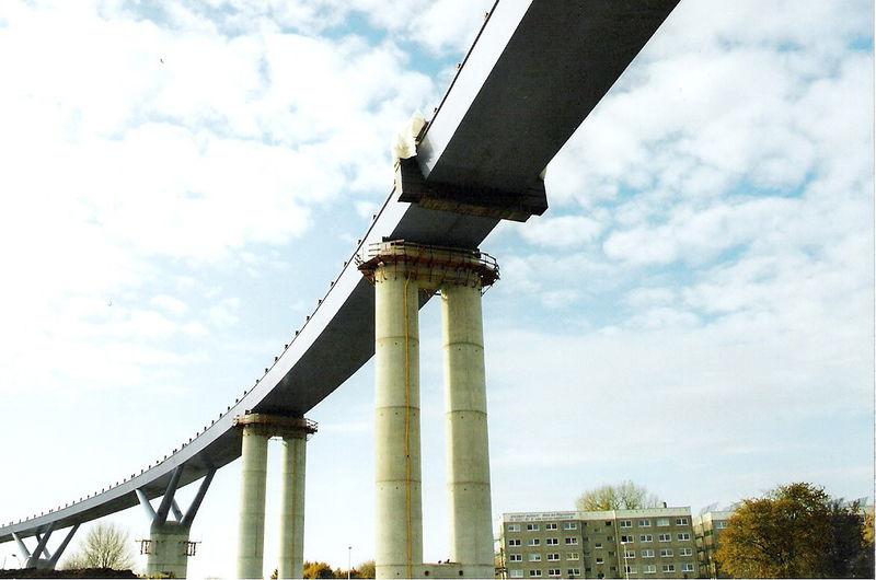
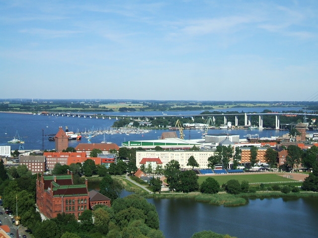
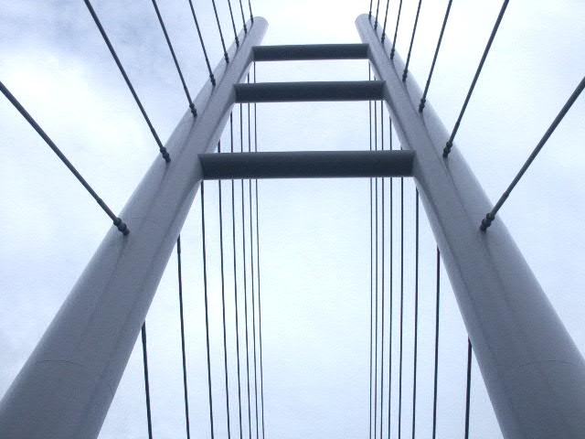
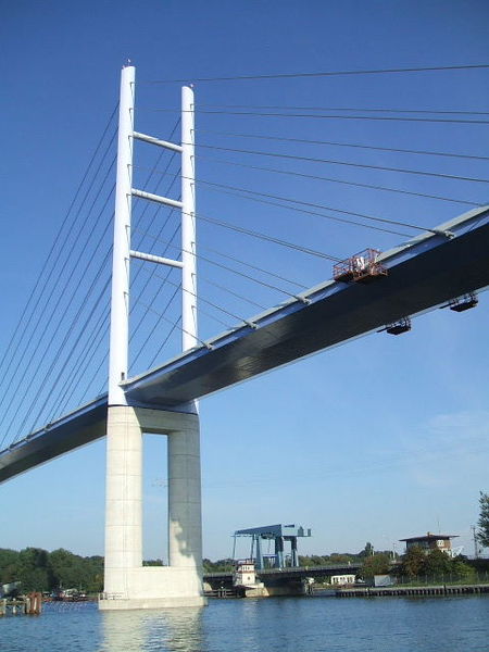
Strelasund Crossing is the two links to the German island of Rügen over the Strelasund to the West Pomeranian mainland near Stralsund: the Rügen Bridge or Rugia Bridge and the Rugia Causeway. ()
Local name: Strelasundquerung Opened: 22 October 2007 (18 years ago)Length: 9288 ftHeight: 413 ftCoordinates: 54°18'45"N, 13°6'51"E
Address
Stralsund
ContactAdd
Social media
Add
Day trips
Strelasund Crossing – popular in the area (distance from the attraction)
Nearby attractions include: St. Nicholas Church, St.-Marien-Kirche, Museum of Cultural History, Ozeaneum.
Frequently Asked Questions (FAQ)
Which popular attractions are close to Strelasund Crossing?
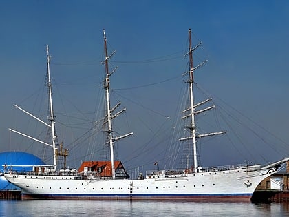
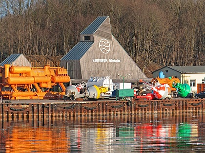
Nearby attractions include Dänholm, Stralsund (7 min walk), Nautineum Stralsund, Stralsund (14 min walk), Kloster zum Heiligen Geist, Stralsund (18 min walk), Gorch Fock I, Stralsund (18 min walk).
How to get to Strelasund Crossing by public transport?
The nearest stations to Strelasund Crossing:
Ferry
Bus
Ferry
- Fähre Stralsund - Altefähr • Lines: Zingst-Stralsund (22 min walk)
Bus
- Olof-Palme-Platz • Lines: 4 (28 min walk)
- Stralsund Busbahnhof • Lines: 302 (28 min walk)
