Orensberg

Gallery (4)
Map

Map
Gallery
Facts and practical information
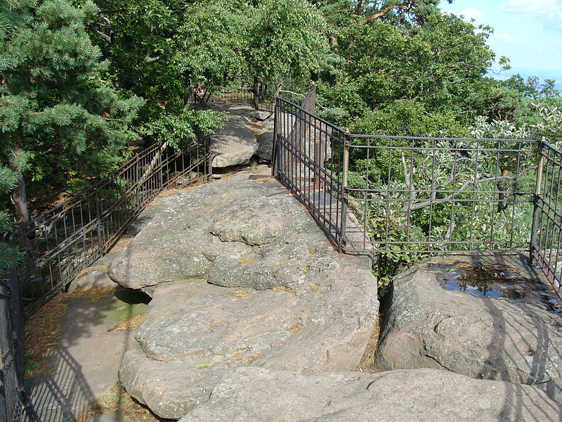
The Orensberg, also known in the region as the Orensfels due to the striking rock formations on its summit plateau, is a hill, 581.2 m above sea level, near Frankweiler in the county of Südliche Weinstraße in the German state of Rhineland-Palatinate. The hill is part of the Haardt mountain range that forms the eastern edge of the Palatinate Forest. ()
Location
Rhineland-Palatinate
ContactAdd
Social media
Add
Day trips


