Roßberg
#1255 among destinations in Germany
![Roßberg location map](https://tzmedia.b-cdn.net/media/images/static-maps/de/49_2618_8_02966.jpg)
![Roßberg](https://tzmedia.b-cdn.net/media/images/de/place/gallery/medium/a448b4fdcec08febf64c21d6fc529728.jpg)
Facts and practical information
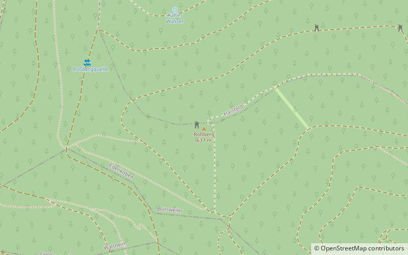
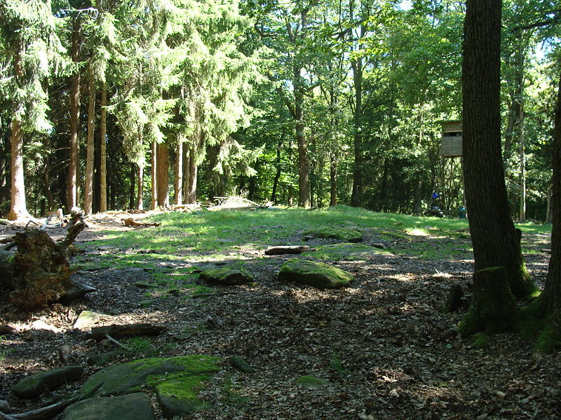
The Roßberg near Ramberg in the county of Südliche Weinstraße in the German state of Rhineland-Palatinate is, at 637 m above sea level, the third highest mountain in the Palatine Forest. ()
Rhineland-PalatinateGermany
Roßberg plan & book
Unleash the traveler in you — discover the cheapest flight deals, find the perfect hotel or hostel nearby, and search for the best car rental prices. Travel at your own pace to discover new places and enjoy your journey.
Roßberg – popular in the area (distance from the attraction)
Nearby attractions include: Neuscharfeneck Castle, Brushmakers' Museum, Ramburg, Orensberg.
0.7 miSWForts and castlesNeuscharfeneck Castle
19 min walk • Nestled in the lush greenery of the Palatinate Forest in Germany, the ruins of Neuscharfeneck Castle stand as a silent witness to the medieval past. With origins dating back to the 13th century, this once-mighty fortress is now one of the largest castle ruins in the...
0.9 miWMuseumBrushmakers' Museum
24 min walk • The Brushmakers' Museum in Ramberg is a local history museum in the village of Ramberg in the German state of Rhineland-Palatinate.
1.1 miWForts and castlesRamburg
28 min walk • The Ramburg is a ruined hill castle in the county of Südliche Weinstraße, in the German state of Rhineland-Palatinate.
1.2 miSNature, Natural attraction, MountainOrensberg
32 min walk • The Orensberg, also known in the region as the Orensfels due to the striking rock formations on its summit plateau, is a hill, 581.2 m above sea level, near Frankweiler in the county of Südliche Weinstraße in the German state of Rhineland-Palatinate.
1.3 miSENature, Natural attraction, MountainTeufelsberg
33 min walk • The Teufelsberg is a hill massif, 598 metres high, in the southern Palatinate Forest on the territory of Burrweiler in the county of Südliche Weinstraße. It has a subpeak, the Lambertskopf. The Teufelsberg offers extensive views over the Upper Rhine Plain.
1.1 miNForts and castlesFrankenburg
28 min walk • The Frankenburg is a natural monument with the ruins of a rock castle in the county of Südliche Weinstraße in the German state of Rhineland-Palatinate.
1 miNForts and castlesMeistersel Castle
25 min walk • Meistersel Castle is a ruined castle near Ramberg on the outskirts of the Palatinate Forest in Rhineland-Palatinate, Germany. It is located on a 492-metre-high hilltop that towers above the Modenbach valley near the Three Beeches pass on the road from Ramberg to Edenkoben.
0.7 miNWMountain pass, Nature, Natural attractionDrei Buchen
17 min walk • Drei Buchen is a hill pass in the central Palatine Forest in the German state of Rhineland-Palatinate. It lies in the estate of the village of Ramberg at a height of 403 metres above sea level.
0.9 miNWNature, Natural attraction, ValleyHolpertal
24 min walk • The Holpertal is a valley, just one and a half kilometres long, in the central Palatine Forest of Germany. It lies within the municipality of Ramberg in the county of Südliche Weinstraße in the state of Rhineland-Palatinate.
1.4 miSWLocalityDernbach
37 min walk • Dernbach is a municipality in the Südliche Weinstraße district, in Rhineland-Palatinate, Germany.