Teufelsberg

Gallery (4)
Map

Map
Gallery
Facts and practical information
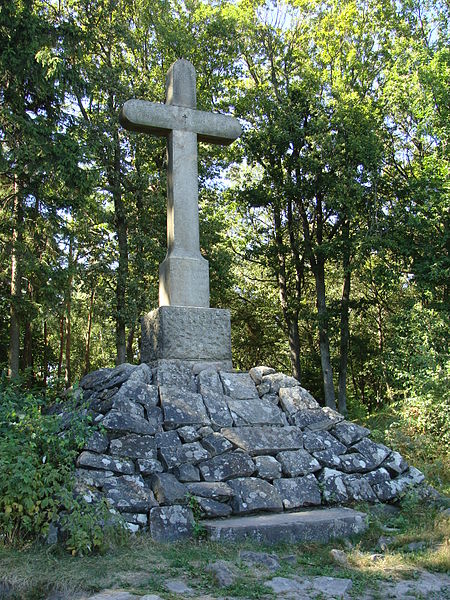
The Teufelsberg is a hill massif, 598 metres high, in the southern Palatinate Forest on the territory of Burrweiler in the county of Südliche Weinstraße. It has a subpeak, the Lambertskopf. The Teufelsberg offers extensive views over the Upper Rhine Plain. It is not accessible by motor vehicle but may be ascended on various hiking trails. ()
Location
Rhineland-Palatinate
ContactAdd
Social media
Add
Day trips