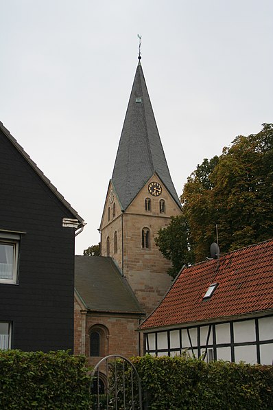
Evangelische St. Remigius-Kirche Mengede, Dortmund
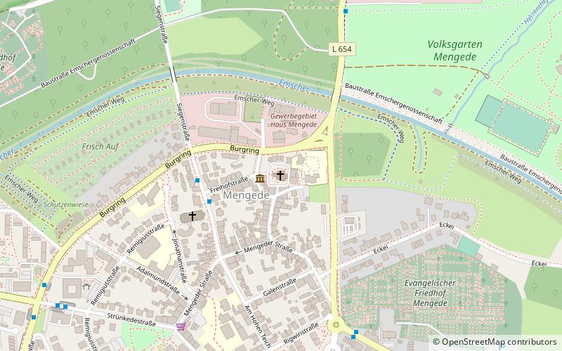
Map
Gallery
Facts and practical information
The Evangelical Church of St. Remigius is located in the Mengede district of Dortmund.
Coordinates: 51°34'29"N, 7°23'6"E
Day trips
Evangelische St. Remigius-Kirche Mengede – popular in the area (distance from the attraction)
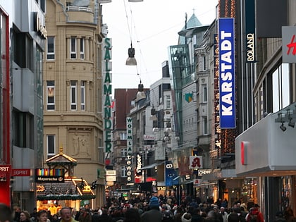
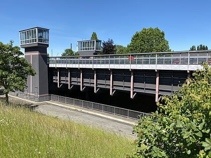
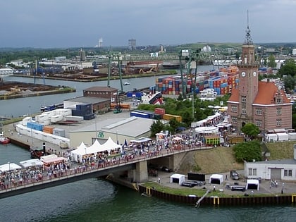
Nearby attractions include: Westenhellweg, LWL-Industriemuseum Zeche Zollern, Henrichenburg boat lift, Dortmunder U.
Frequently Asked Questions (FAQ)
How to get to Evangelische St. Remigius-Kirche Mengede by public transport?
The nearest stations to Evangelische St. Remigius-Kirche Mengede:
Bus
Train
Bus
- Freihofstraße • Lines: 289, 471, 474, 476, Ne14, Sb24 (3 min walk)
- Mengeder Schulstraße • Lines: 415 (6 min walk)
Train
- Dortmund-Mengede (14 min walk)
- Dortmund-Nette/Oestrich (25 min walk)

