Jagdkopf
#1355 among destinations in Germany

Facts and practical information
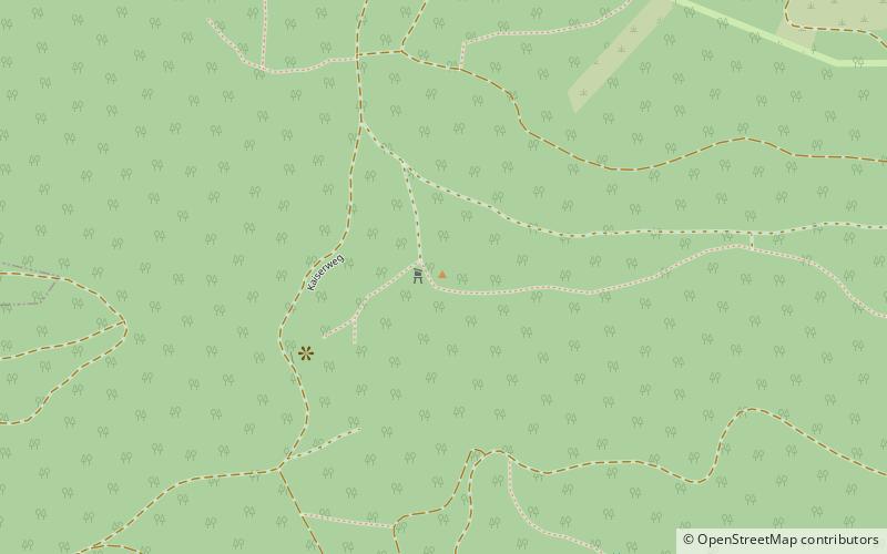
The Jagdkopf a hill, 603.1 m above sea level high, in the Harz Mountains of Germany. It is located between the villages of Wieda and Zorge in the unincorporated area of Harz in the district of Göttingen in the state of Lower Saxony. ()
Lower SaxonyGermany
Jagdkopf – popular in the area (distance from the attraction)
Nearby attractions include: Ravensberg, Sorge Border Museum, Oder Dam, Stöberhai.
 Nature, Natural attraction, Mountain
Ravensberg, Bad Sachsa
90 min walk • The Ravensberg is a 659 m high mountain in the South Harz mountains in the German state of Lower Saxony. It is relatively isolated and visible for a long way. It lies in the district of Göttingen, north of Bad Sachsa. The mountain top is crowned with a prominent 64 m high tower, which was built in 1970.
 Museum
Sorge Border Museum
128 min walk • Nestled in the heart of Germany's Harz region, the Sorge Border Museum stands as a poignant reminder of the country's divided past. This museum, located in the small village of Sorge, offers a glimpse into the realities of life along the inner German border during the...
 Historic dam with an eatery and reservoir
Oder Dam
100 min walk • The Oder Dam is a dam in the Harz mountains of Germany. It lies above Bad Lauterberg in the district of Göttingen in Lower Saxony and impounds the river Oder. The dam went into service in 1934 after taking 3 years to build. The owner and operator of the Oder Dam is the Harzwasserwerke.
 Nature, Natural attraction, Mountain
Stöberhai
70 min walk • The Stöberhai is a mountain the Harz highlands in Central Germany, immediately south of the Oder Dam and northwest of Wieda. At a height of 720 m above sea level it is the highest mountain in the South Harz.
 Town, Memorial
Sankt Andreasberg
166 min walk • Sankt Andreasberg is a former town in the district of Goslar, in Lower Saxony, Germany. Since 1 November 2011, it is part of the town Braunlage. It is situated in the Harz, approximately 7 km west of Braunlage proper, and 20 km east of Osterode am Harz.
 Nature, Natural attraction, Mountain
Hasselkopf
141 min walk • Hasselkopf is a mountain on the southern periphery of Braunlage, Germany. It is 612 m high. The hill is mostly covered in grass and undeveloped, but its northern slope has a short ski lift and can be used for downhill skiing in the winter months.
 Memorial
Drei-Länder-Stein
105 min walk • The Drei-Länder-Stein is a boundary stone at the tripoint of the German federal states of Lower Saxony, Saxony-Anhalt and Thuringia near the Großer Ehrenberg mountain in the Harz.
 Specialty museum, History museum, Church
ZisterzienserMuseum Kloster Walkenried, Walkenried
90 min walk • Walkenried Abbey was a Cistercian abbey located in the village of Walkenried in Lower Saxony, Germany. Founded in 1127 on the southern rim of the Harz mountain range, the remnants of the monastic complex since 2010 are part of the Upper Harz Water Regale World Heritage Site.
 Nature, Natural attraction, Mountain
Koboltstaler Köpfe
168 min walk • The Koboltstaler Köpfe are a group of three mountains, that rise southwest of Sankt Andreasberg and east of Sieber in the district of Göttingen in Lower Saxony.
 Museum, Specialty museum, History museum
Grube Samson
172 min walk • The Samson Pit or Samson Mine is an historic silver mine in Sankt Andreasberg in the Upper Harz region of central Germany. The pit has one of the oldest man engines in the world still working and it can be seen in operation during guided tours.
 Memorial
Dicke Tannen
63 min walk • Dicke Tannen is a protected landscape, around 4.2 hectares in area, near the Harz village of Hohegeiß, which lies in the borough of Braunlage. It is the site of the mightiest spruce trees in North Germany; the individual trees reaching heights of 50 metres and trunk diameters of 100 to 180 centimetres.