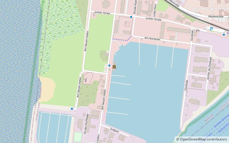
Borkumriff IV, Borkum
Map

Map

Facts and practical information
Borkumriff was a lightship position from 1875 to 1988, originally at 53° 51′ 0″ N, 6° 26′ 0″ E, then later at position 53° 43′ 0″ N, 6° 23′ 0″ E, about 30 kilometers northwest of the island of Borkum in one of the main shipping lanes of the German Bight. The ships deployed had the designation Feuerschiff Borkumriff during active operations at this position.
Day trips
Borkumriff IV – popular in the area (distance from the attraction)
Nearby attractions include: Borkum Großer Light, Kleiner Leuchtturm, Maria Meeresstern, Christ Church.


