Brauerplate, Lower Saxon Wadden Sea National Park


Facts and practical information
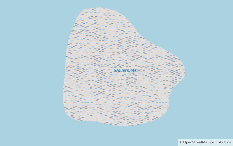
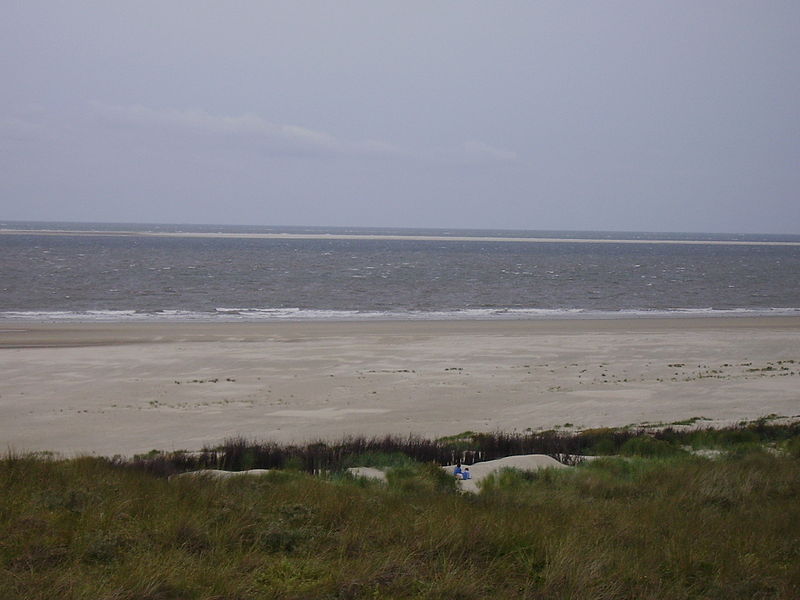
Brauerplate is a sandbank and partial high sand in the Lower Saxon Wadden Sea of the North Sea. The southern tip of the sandbank with the high sand is located about three kilometers north of the island of Borkum in the waters of the Osterems, between the Voorentief and the Hommegat.
Intensive investigations in the mid-1990s established large-scale morphological changes north of Borkum. These changes are related to complex displacement processes of the Osterems, the Hommegat and the Brauerplate. From Borkum, the Brauerplate has become increasingly perceptible as an island-like object, even to non-geologists, since about the year 2000.
As there is no human intervention in the development of the sandbank, it is to be expected that its size and structure will continue to change. Brauerplate is part of the protected zone of the Wadden Sea National Park and may not be entered.
Lower Saxon Wadden Sea National Park
Brauerplate – popular in the area (distance from the attraction)
Nearby attractions include: Borkum Großer Light, Kleiner Leuchtturm, Maria Meeresstern, Christ Church.


