Biebricher Allee, Wiesbaden
Map

Map

Facts and practical information
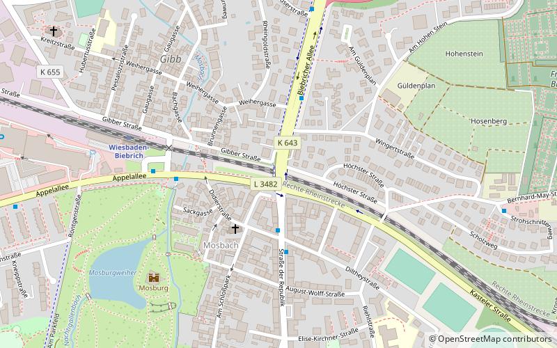
Biebricher Allee is a major arterial road in Wiesbaden, Germany, running from Ringroad near central station at the north end, south through the suburb of Südost and then towards and through Biebrich. Shortly before the south end there are exits towards Autobahn 66, which crosses Biebricher Allee under a bridge. The street is with the Schiersteiner Straße, Mainzer Straße and Ringstraße the busiest southern arterial road in Wiesbaden and is often congested in the peak-hour traffic. The avenue has a length of approximately 2,700 metres. ()
Day trips
Biebricher Allee – popular in the area (distance from the attraction)
Nearby attractions include: Biebrich Palace, Südfriedhof, Biebrich, Kallebad.
Frequently Asked Questions (FAQ)
When is Biebricher Allee open?
Biebricher Allee is open:
- Monday 6 am - 10 pm
- Tuesday 6 am - 10 pm
- Wednesday 6 am - 10 pm
- Thursday 6 am - 10 pm
- Friday 6 am - 10 pm
- Saturday 6 am - 10 pm
- Sunday 8 am - 10 pm
Which popular attractions are close to Biebricher Allee?
Nearby attractions include Biebrich, Wiesbaden (2 min walk), Hauptkirche, Wiesbaden (3 min walk), Mosburg, Wiesbaden (6 min walk), Landesdenkmal, Wiesbaden (12 min walk).
How to get to Biebricher Allee by public transport?
The nearest stations to Biebricher Allee:
Bus
Train
Bus
- Herzogsplatz • Lines: 14, 38, 39, 4, N3 (3 min walk)
- Bahnhof Biebrich • Lines: 47 (4 min walk)
Train
- Wiesbaden-Biebrich (6 min walk)
- Wiesbaden Ost (22 min walk)


