Bildstock Armbruster, Berghaupten

Facts and practical information
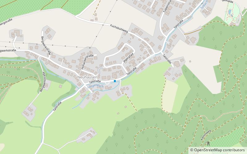
Bildstock Armbruster is a place located in Berghaupten (Baden-Württemberg state) and belongs to the category of wayside shrine.
It is situated at an altitude of 607 feet, and its geographical coordinates are 48°24'2"N latitude and 7°58'52"E longitude.
Planning a visit to this place, one can easily and conveniently get there by public transportation. Bildstock Armbruster is a short distance from the following public transport stations: Berghaupten Obertal (bus, 1 min walk).
Among other places and attractions worth visiting in the area are: Bildstock Benz (wayside shrine, 7 min walk), Bildstock Brüderle (wayside shrine, 8 min walk), Geißkopf (archaeological site, 14 min walk).
Berghaupten
- Bus
 Bus
Bus
- Calculate routeBerghaupten Obertal 1 min walk
Bildstock Armbruster – popular in the area (distance from the attraction)
Nearby attractions include: Geißkopf, Bildstock, Bildstock, Bildstock Hilberger.


Frequently Asked Questions (FAQ)
Which popular attractions are close to Bildstock Armbruster?
How to get to Bildstock Armbruster by public transport?
Bus
- Berghaupten Obertal • Lines: 7134 (1 min walk)