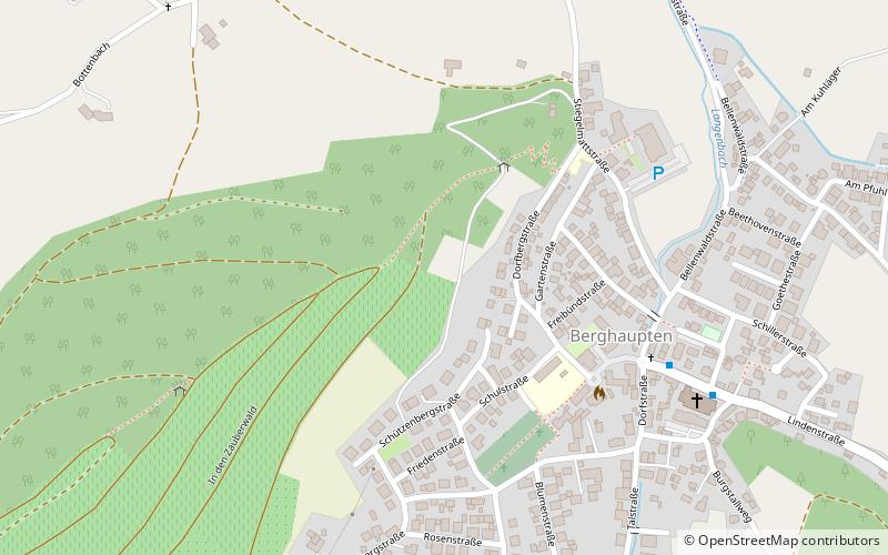
Geißkopf, Berghaupten
Map

Map

Facts and practical information
The Geißkopf is a foothill, 359 m above sea level, near Berghaupten in the south German state of Baden-Württemberg. During the Migration Period there was evidently a Roman or Germanic military camp on the strategically placed heights. ()
Address
Berghaupten
ContactAdd
Social media
Add
Day trips
Geißkopf – popular in the area (distance from the attraction)
Nearby attractions include: Bildstock, Bildstock, Bildstock Hilberger, Bildstock Lienhart.
Frequently Asked Questions (FAQ)
Which popular attractions are close to Geißkopf?
Nearby attractions include Bildstock Berghaupten, Berghaupten (6 min walk), Wegekreuz Wagner, Berghaupten (9 min walk), Bildstock Benz, Berghaupten (10 min walk), Bildstock Brüderle, Berghaupten (12 min walk).
How to get to Geißkopf by public transport?
The nearest stations to Geißkopf:
Bus
Bus
- Berghaupten, Kirche • Lines: 7134 (7 min walk)
- Gengenbach, Abzw. Reichenbach • Lines: 7134, 7160 (26 min walk)


