Schwedenkreuz, Berghaupten

Gallery (1)
Map
Map
Facts and practical information
Schwedenkreuz is a place located in Berghaupten (Baden-Württemberg state) and belongs to the category of wayside shrine.
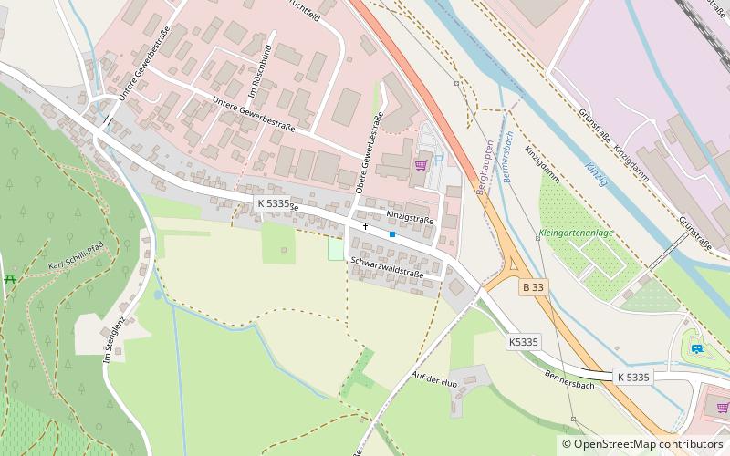
It is situated at an altitude of 554 feet, and its geographical coordinates are 48°24'13"N latitude and 7°59'59"E longitude.
Planning a visit to this place, one can easily and conveniently get there by public transportation. Schwedenkreuz is a short distance from the following public transport stations: Berghaupten, Ortseingang (bus, 1 min walk), Gengenbach (train, 13 min walk).
Among other places and attractions worth visiting in the area are: Bildstock Lienhart (wayside shrine, 1 min walk), Bildstock (wayside shrine, 9 min walk), Bildstock Hilberger (wayside shrine, 13 min walk).
Coordinates: 48°24'13"N, 7°59'59"E
Address
Berghaupten
ContactAdd
Social media
Add
Getting there by public transportation
Public transportation stops near this location
- Bus
- Train
 Bus
Bus
- Calculate routeBerghaupten, Ortseingang 1 min walk
- Calculate routeGengenbach Bahnhofstraße 15 min walk
- Calculate routeGengenbach 13 min walk
Day trips


Frequently Asked Questions (FAQ)
Which popular attractions are close to Schwedenkreuz?
Nearby attractions include Bildstock Lienhart, Berghaupten (1 min walk), Bildstock, Berghaupten (9 min walk), Bildstock Hilberger, Berghaupten (13 min walk), Bildstock Benz, Berghaupten (18 min walk).
How to get to Schwedenkreuz by public transport?
The nearest stations to Schwedenkreuz:
Bus
Train
Bus
- Berghaupten, Ortseingang • Lines: 7134 (1 min walk)
- Gengenbach Bahnhofstraße • Lines: 7134, 7160 (15 min walk)
Train
- Gengenbach (13 min walk)