Pirmasens-Land, Pirmasens
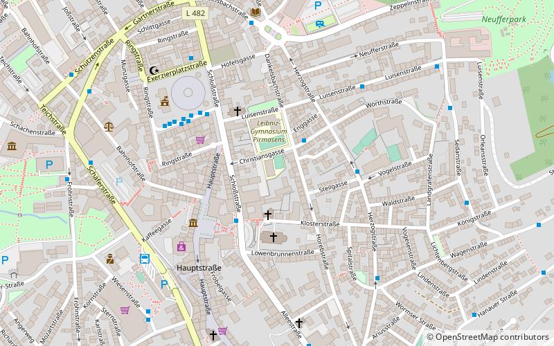
Map
Facts and practical information
Pirmasens-Land is a Verbandsgemeinde in the Südwestpfalz district, in Rhineland-Palatinate, Germany. It is situated on the southwestern edge of the Palatinate forest, around Pirmasens. The seat of the municipality is in Pirmasens, itself not part of the municipality. ()
Day trips
Pirmasens-Land – popular in the area (distance from the attraction)
Nearby attractions include: Lemberg Castle, Clausensee, Siegfried Line Museum, Devil's Table.
Frequently Asked Questions (FAQ)
Which popular attractions are close to Pirmasens-Land?
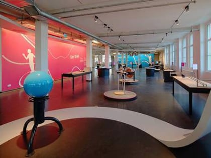
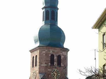
Nearby attractions include Luther Church, Pirmasens (7 min walk), Dynamikum, Pirmasens (10 min walk).


