Verona, Lower Saxon Wadden Sea National Park
Map
![Verona location map](https://tzmedia.b-cdn.net/media/images/static-maps/de/53_7817_7_7878.jpg)
Map
![Verona location map](https://tzmedia.b-cdn.net/media/images/static-maps/de/53_7817_7_7878.jpg)
Facts and practical information
The Verona was an English steamship that beached on Spiekeroog on December 13, 1883.
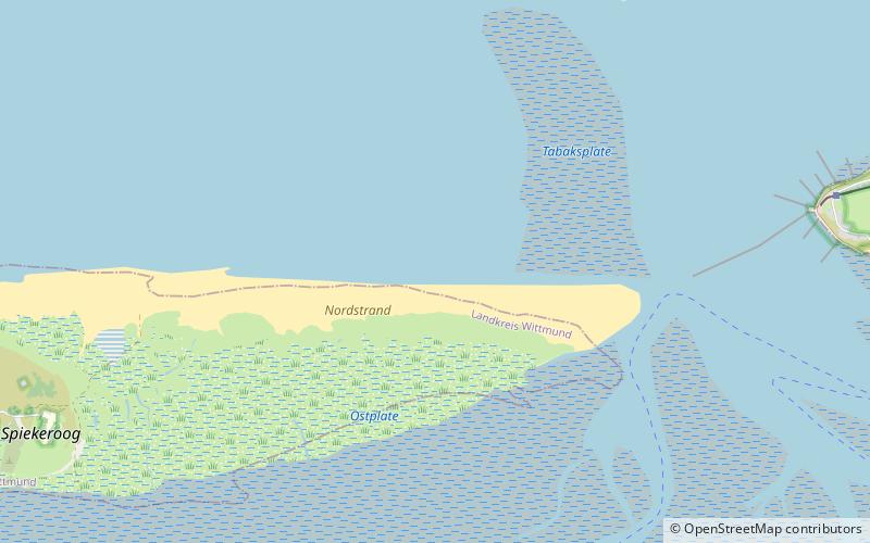
Coordinates: 53°46'54"N, 7°47'16"E
Address
Lower Saxon Wadden Sea National Park
ContactAdd
Social media
Add
Day trips
Verona – popular in the area (distance from the attraction)
Nearby attractions include: Inselmuseum "Alter Leuchtturm", Sankt Peter, Alte Inselkirche, Golfclub Insel Wangerooge e.V..