City Hall, Wanfried
Map

Map

Facts and practical information
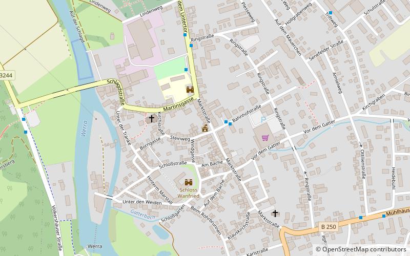
The town hall in Wanfried, a rural town in the Werra-Meißner district of northern Hesse, was built in the mid-17th century. The half-timbered house at Marktstraße 18 is a protected architectural monument.
Coordinates: 51°10'56"N, 10°10'12"E
Day trips
City Hall – popular in the area (distance from the attraction)
Nearby attractions include: Hülfensberg, Kletterwald am Leuchtberg, Tower of Unity, Kreisverwaltung Werra Meißner.
Frequently Asked Questions (FAQ)
Which popular attractions are close to City Hall?
Nearby attractions include Wanfrider Handarbeiten, Wanfried (2 min walk), Keudellsches Schloss, Wanfried (2 min walk), ´Den Strom erobernd´, Wanfried (7 min walk).


