´Den Strom erobernd´, Wanfried

Gallery (1)
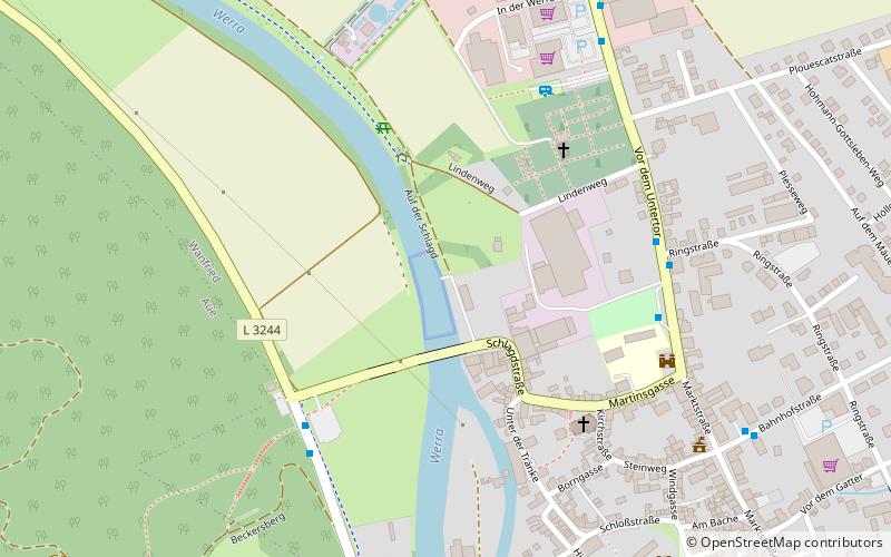
Map
Map
Facts and practical information
´Den Strom erobernd´ is a place located in Wanfried (Hesse state) and belongs to the category of memorial.
It is situated at an altitude of 548 feet, and its geographical coordinates are 51°11'3"N latitude and 10°9'54"E longitude.
Among other places and attractions worth visiting in the area are: Keudellsches Schloss (forts and castles, 6 min walk), Wanfrider Handarbeiten (shopping, 6 min walk), City Hall (city hall, 7 min walk).
Coordinates: 51°11'3"N, 10°9'54"E
Address
Wanfried
ContactAdd
Social media
Add
Day trips


Frequently Asked Questions (FAQ)
Which popular attractions are close to ´Den Strom erobernd´?
Nearby attractions include Keudellsches Schloss, Wanfried (6 min walk), Wanfrider Handarbeiten, Wanfried (6 min walk), City Hall, Wanfried (7 min walk).