Worringer Bruch, Cologne
Map
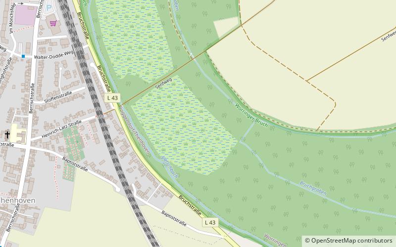
Map

Facts and practical information
The Worringer Bruch is a section of 164 hectares swampy lowlands in the far north of Cologne, Germany. It is approximately 8,000 years old, and is now almost a completely dried up meander part of the Rhine. It was named after an adjacent district of Cologne, Worringen, which once was an independent city, which has a thousand years of history. ()
Address
Chorweiler (Worringen)Cologne
ContactAdd
Social media
Add
Best Ways to Experience the Park
Wildlife
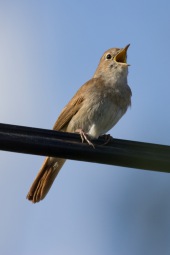
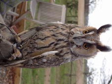
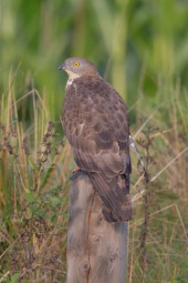
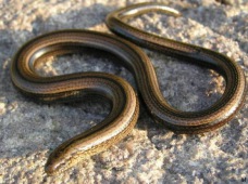
AnimalsSee what popular animal species you can meet in this location.
More
Show more
Day trips
Worringer Bruch – popular in the area (distance from the attraction)
Nearby attractions include: Rathausgalerie, Aqualand Freizeitbad, Fühlinger See, Historical Town Hall.
Frequently Asked Questions (FAQ)
How to get to Worringer Bruch by public transport?
The nearest stations to Worringer Bruch:
Bus
Train
Bus
- Walter-Dodde-Weg • Lines: 120, 123, 885E, 980 (9 min walk)
- Worringen West • Lines: 885, 980 (12 min walk)
Train
- Köln-Worringen (13 min walk)
- Köln-Blumenberg (31 min walk)


