Hoffnungskirche, Leverkusen
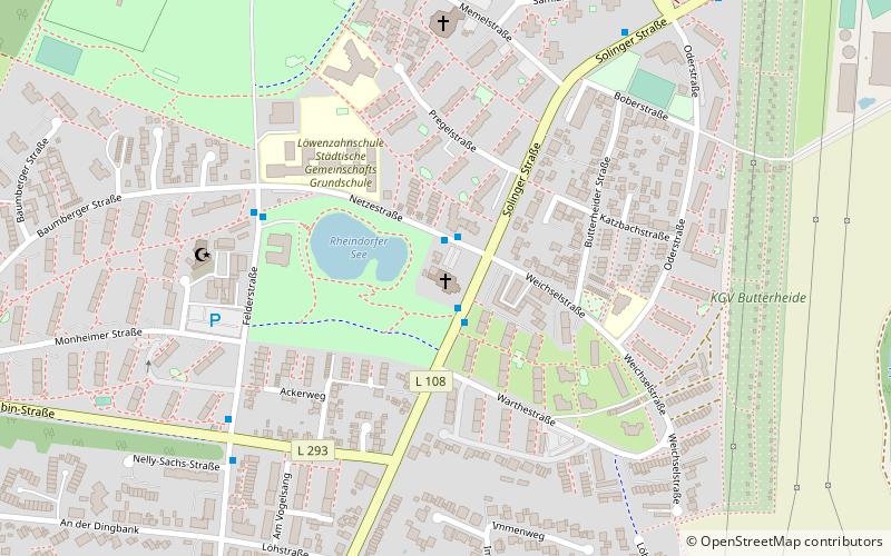
Map

Map

Facts and practical information
Hoffnungskirche is a Protestant house of worship in the Rheindorf district of Leverkusen. It was the seat of the congregation of the same name until December 31, 2019 and since January 1, 2020 part of the congregation "An Dhünn, Wupper und Rhein", both in the Protestant church district of Leverkusen.
Architectural style: ModernCoordinates: 51°3'31"N, 6°57'19"E
Address
Solinger Str. 101Rheindorf (Rheindorf-Süd)Leverkusen 51371
Contact
+49 214 8200013
Social media
Add
Day trips
Hoffnungskirche – popular in the area (distance from the attraction)
Nearby attractions include: BayArena, Rathaus-Galerie Leverkusen, Aqualand Freizeitbad, Freizeitbad Calevornia.
Frequently Asked Questions (FAQ)
How to get to Hoffnungskirche by public transport?
The nearest stations to Hoffnungskirche:
Train
Bus
Train
- Leverkusen-Rheindorf (14 min walk)
Bus
- Rheindorfer Straße • Lines: 207, 211, N23 (24 min walk)
- Neuburger Hof • Lines: 253 (24 min walk)


