Ernstberg
Map

Map

Facts and practical information
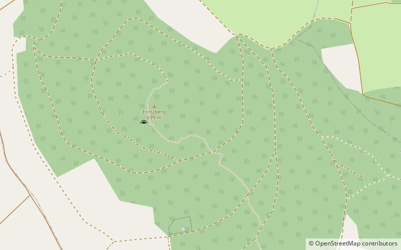
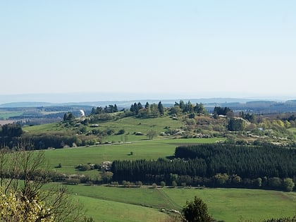
The Ernstberg southeast of Hinterweiler is, at 698.8 m, the highest of the west Eifel volcanoes and, after the Hohe Acht, the second highest mountain in the Eifel overall. Its summit consists of pyroclastic rocks that form a volcanic crater that is open towards the east. This is where the basalt masses flowed out, forming a semicircle on the eastern slope of the mountain. It lies within the Waldeifel region. ()
Location
Rhineland-Palatinate
ContactAdd
Social media
Add
Day trips
Ernstberg – popular in the area (distance from the attraction)
Nearby attractions include: Weinfelder Maar, Kasselburg, Hoher List Observatory, Schalkenmehrener Maar.


