Dietzenley

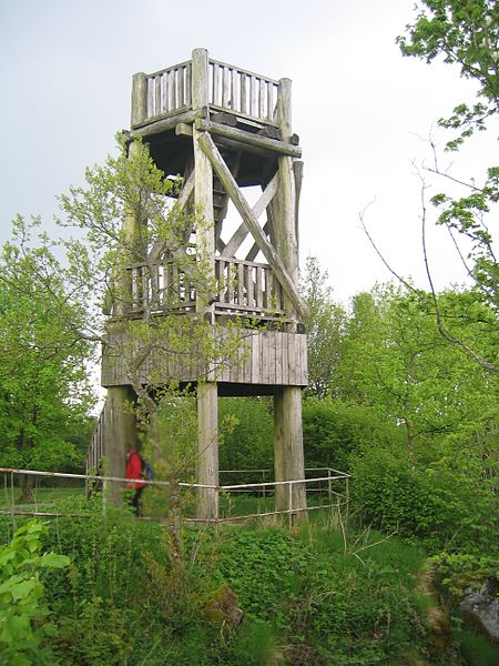
Gallery (2)
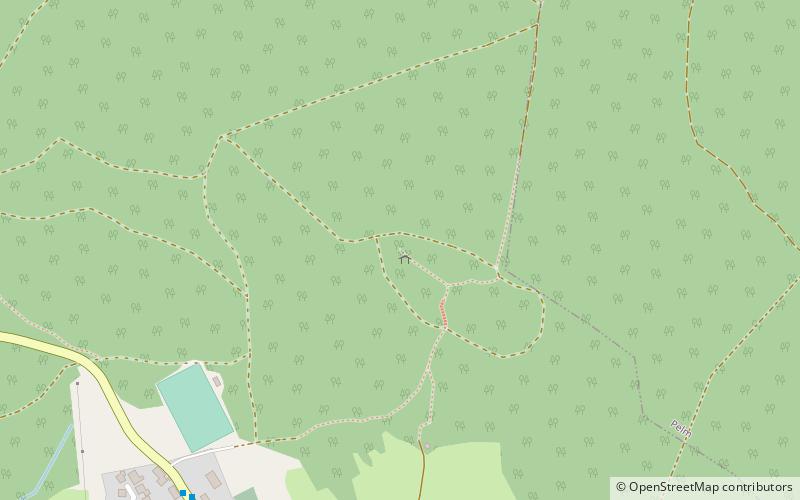
Map
Map
Gallery
Facts and practical information
The Dietzenley in the county of Vulkaneifel in the German state of Rhineland-Palatinate is a mountain, 617.6 m above sea level, and the highest point in the Pelm Forest, a part of the Volcanic Eifel range. ()
Location
Rhineland-Palatinate
ContactAdd
Social media
Add
Day trips


