Breitenberg

Gallery (2)
Map
Map
Gallery
Facts and practical information
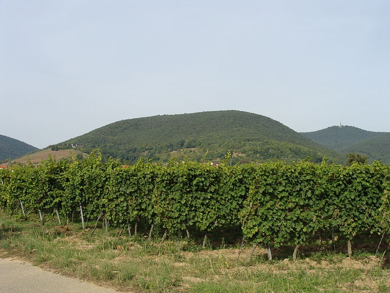
The Breitenberg near Sankt Martin in the Rhineland-Palatinate county of Südliche Weinstraße is a hill, 545.2 m above sea level, and subpeak of the Kalmit, the highest mountain in the Palatinate Forest. It is part of the Haardt mountains. ()
Location
Rhineland-Palatinate
ContactAdd
Social media
Add
Day trips


