Hochberg
Map
Gallery
Facts and practical information
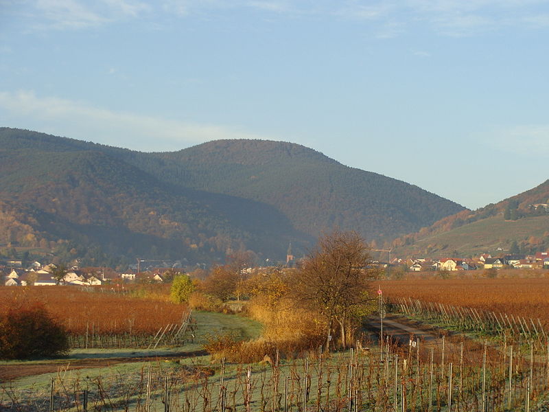
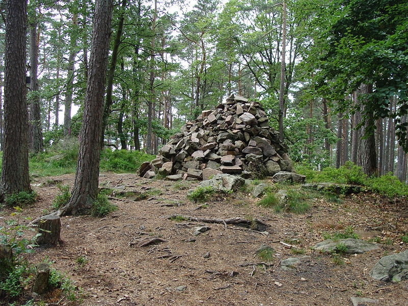
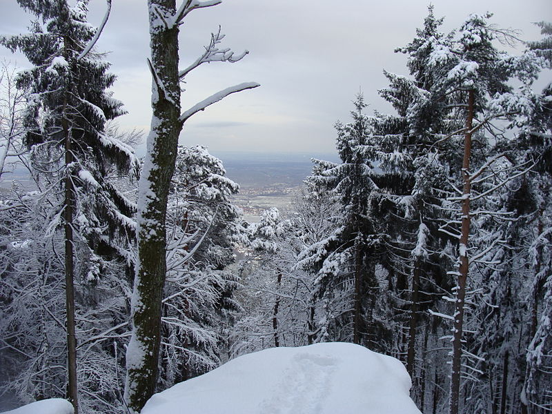
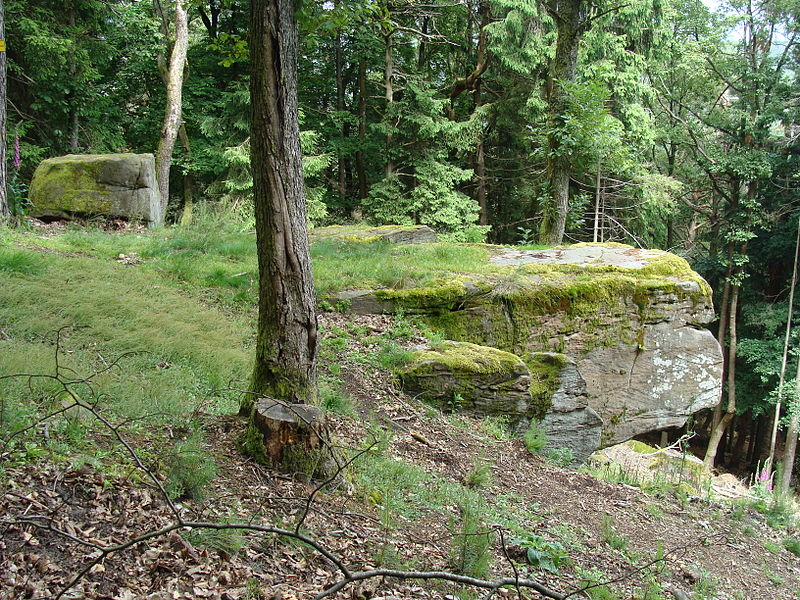
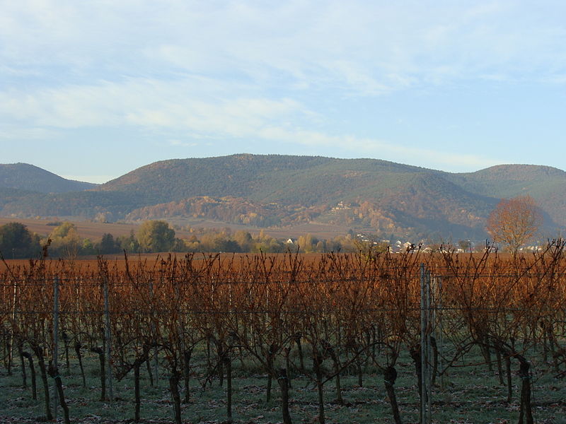
The Hochberg is a 635.3-metre-high mountain in the central Haardt in the Palatine Forest in Germany. It lies on the territory of the municipality of Sankt Martin in the county of Südliche Weinstraße in the state of Rhineland-Palatinate. After the Kalmit, the Kesselberg and the Roßberg it is the fourth highest peak in the Palatine Forest. ()
Location
Rhineland-Palatinate
ContactAdd
Social media
Add
Day trips
Hochberg – popular in the area (distance from the attraction)
Nearby attractions include: Breitenberg, Kesselberg, Schafkopf, Kropsburg.


