Tiergarten, Berlin
Map
Gallery
Facts and practical information
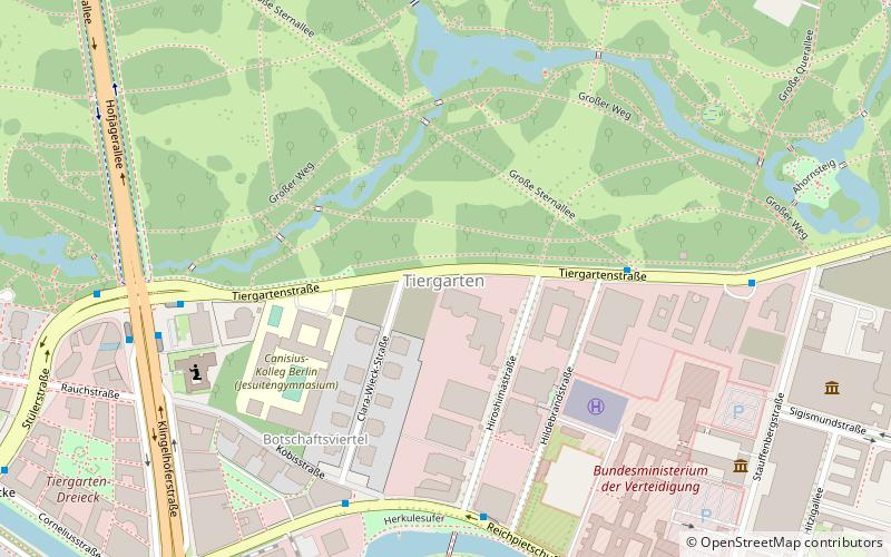
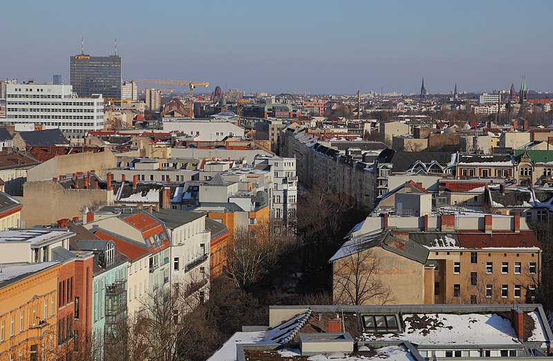
Tiergarten is a locality within the borough of Mitte, in central Berlin. Notable for the great and homonymous urban park, before German reunification, it was a part of West Berlin. Until Berlin's 2001 administrative reform, Tiergarten was also the name of a borough, consisting of the current locality of Tiergarten plus Hansaviertel and Moabit. A new system of road and rail tunnels runs under the park towards Berlin's main station in nearby Moabit. ()
Address
Mitte (Tiergarten)Berlin
ContactAdd
Social media
Add
Day trips
Tiergarten – popular in the area (distance from the attraction)
Nearby attractions include: Neue Nationalgalerie, Tiergarten Park, Berlin Victory Column, Bellevue Palace.
Frequently Asked Questions (FAQ)
Which popular attractions are close to Tiergarten?
Nearby attractions include Tiergartenstraße, Berlin (5 min walk), Richard Wagner Monument, Berlin (5 min walk), Memorial to the German Resistance, Berlin (8 min walk), Tiergarten Park, Berlin (8 min walk).
How to get to Tiergarten by public transport?
The nearest stations to Tiergarten:
Metro
Train
Tram
Bus
Metro
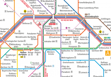
- U Kurfürstenstraße • Lines: U1, U3 (18 min walk)
- U Nollendorfplatz • Lines: U1, U2, U3, U4 (18 min walk)
Train
- Berlin Potsdamer Platz (20 min walk)
- Berlin Zoologischer Garten (27 min walk)
Tram
- Lüneburger Straße • Lines: M10, M5, M8 (24 min walk)
- Lesser-Ury-Weg • Lines: M10, M5, M8 (26 min walk)
Bus
- Bahnhof Zoologischer Garten/Fernbus • Lines: N44, N70 (26 min walk)
- Jebensstraße • Lines: 245, M45 (29 min walk)

 Metro
Metro


